File:India Gujarat location map.svg

Size of this PNG preview of this SVG file: 755 × 599 pixels. Other resolutions: 303 × 240 pixels | 605 × 480 pixels | 756 × 600 pixels | 968 × 768 pixels | 1,280 × 1,016 pixels | 1,173 × 931 pixels.
Original file (SVG file, nominally 1,173 × 931 pixels, file size: 651 KB)
| This is a file from the Wikimedia Commons. The description on its description page there is shown below.
|
Summary
| Description |
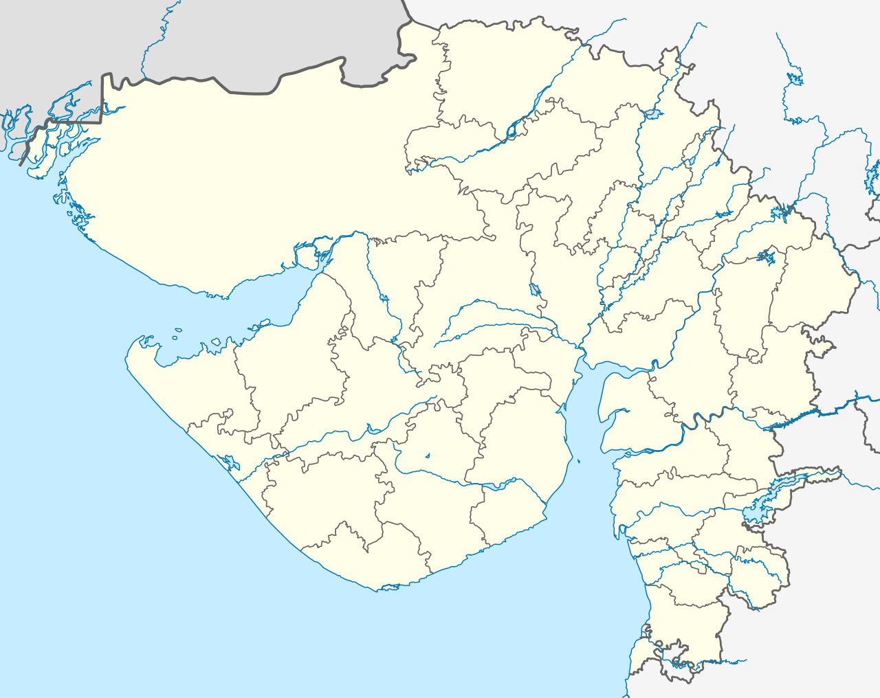
Deutsch: Postionskarte von Gujarat mit der Verwaltungsgliederung seit 15.08.2013
English: location map of Gujarat with the administrative divisions since August 15, 2013
Quadratische Plattkarte. Geographische Begrenzung der Karte:
English: Location map of Gujarat
Equirectangular projection. Geographic limits of the map:
|
||
| Date | see file history | ||
| Source | Own work | ||
| Author | Maximilian Dörrbecker (Chumwa) | ||
| Permission (Reusing this file) |
I, the copyright holder of this work, hereby publish it under the following licenses:
This file is licensed under the Creative Commons Attribution-Share Alike 3.0 Unported license.
You may select the license of your choice. |
||
| Other versions |
|


.svg)


|
This map has been made or improved in the German Kartenwerkstatt (Map Lab). You can propose maps to improve as well.
|
File history
Click on a date/time to view the file as it appeared at that time.
| Date/Time | Dimensions | User | Comment | |
|---|---|---|---|---|
| current | 20:20, 1 August 2021 | 1,173 × 931 (651 KB) | C1MM | Reverted to version as of 03:16, 2 August 2021 (UTC) More accurate rivers, coastline from satellite imagery - different bounds (74.62 and 24.82) |
File usage
The following 2 pages use this file: