File:Intersection in Bethesda, Maryland.jpg

Size of this preview: 800 × 250 pixels. Other resolutions: 320 × 100 pixels | 640 × 200 pixels | 1,024 × 319 pixels | 1,280 × 399 pixels | 12,793 × 3,991 pixels.
Original file (12,793 × 3,991 pixels, file size: 16.52 MB, MIME type: image/jpeg)
| This is a file from the Wikimedia Commons. The description on its description page there is shown below.
|
Summary
| Description |
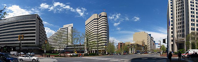
English: Commercial buildings located at the intersection of Maryland Route 187 (Old Georgetown Road), Maryland Route 355 (Wisconsin Avenue), and Maryland Route 410 (East West Highway), near the Bethesda Metro station entrance (pictured, center), in downtown Bethesda, Maryland, United States.
|
||
| Date | Taken on 6 July 2009, 20:01:41 | ||
| Source | originally posted to Flickr as 2009 04 24 - 4895-4903 - Bethesda - MD187, MD355, MD410 | ||
| Author | Andrew Bossi | ||
| Permission (Reusing this file) |
|
Licensing
This file is licensed under the Creative Commons Attribution-Share Alike 2.0 Generic license.
- You are free:
- to share – to copy, distribute and transmit the work
- to remix – to adapt the work
- Under the following conditions:
- attribution – You must give appropriate credit, provide a link to the license, and indicate if changes were made. You may do so in any reasonable manner, but not in any way that suggests the licensor endorses you or your use.
- share alike – If you remix, transform, or build upon the material, you must distribute your contributions under the same or compatible license as the original.
| Camera location | | View this and other nearby images on: OpenStreetMap |
|---|
File history
Click on a date/time to view the file as it appeared at that time.
| Date/Time | Dimensions | User | Comment | |
|---|---|---|---|---|
| current | 18:00, 10 December 2009 | 12,793 × 3,991 (16.52 MB) | Flickr upload bot | Uploaded from http://flickr.com/photo/25622716@N02/3695586053 using Flickr upload bot |
File usage
The following page uses this file: