File:Laval Town 2007 01.jpg

Size of this preview: 800 × 559 pixels. Other resolutions: 320 × 224 pixels | 640 × 447 pixels | 1,024 × 715 pixels | 1,280 × 894 pixels | 2,000 × 1,397 pixels.
Original file (2,000 × 1,397 pixels, file size: 1.15 MB, MIME type: image/jpeg)
| This is a file from the Wikimedia Commons. The description on its description page there is shown below.
|
Summary
| Camera location | | View this and other nearby images on: OpenStreetMap |
|---|
| Description |
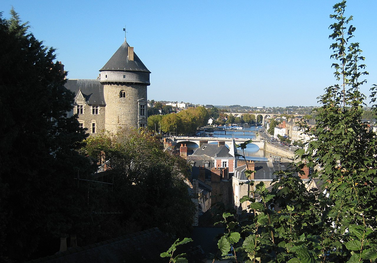
Français : Vue du Château de Laval et des rives de la Mayenne, depuis le parc de la Perrine. English: View on the Laval castle and on the banks of the river Mayenne, from the Parc de la Perrine. |
| Date | |
| Source | Own work |
| Author | Manfred Heyde |
Licensing
I, the copyright holder of this work, hereby publish it under the following licenses:

|
Permission is granted to copy, distribute and/or modify this document under the terms of the GNU Free Documentation License, Version 1.2 or any later version published by the Free Software Foundation; with no Invariant Sections, no Front-Cover Texts, and no Back-Cover Texts. A copy of the license is included in the section entitled GNU Free Documentation License. |
This file is licensed under the Creative Commons Attribution-Share Alike 4.0 International, 3.0 Unported, 2.5 Generic, 2.0 Generic and 1.0 Generic license.
- You are free:
- to share – to copy, distribute and transmit the work
- to remix – to adapt the work
- Under the following conditions:
- attribution – You must give appropriate credit, provide a link to the license, and indicate if changes were made. You may do so in any reasonable manner, but not in any way that suggests the licensor endorses you or your use.
- share alike – If you remix, transform, or build upon the material, you must distribute your contributions under the same or compatible license as the original.
You may select the license of your choice.
| Annotations | This image is annotated: View the annotations at Commons |
File history
Click on a date/time to view the file as it appeared at that time.
| Date/Time | Dimensions | User | Comment | |
|---|---|---|---|---|
| current | 04:14, 20 November 2007 | 2,000 × 1,397 (1.15 MB) | Manfred Heyde | {{Information |Description=Village of Laval, located on the river Mayenne in the county of Mayenne/France; town - old castle, town and river |Source=self-made |Date=20.10.2007 |Author= Manfred Heyde |Permission= |other_versions= }} |
File usage
The following page uses this file: