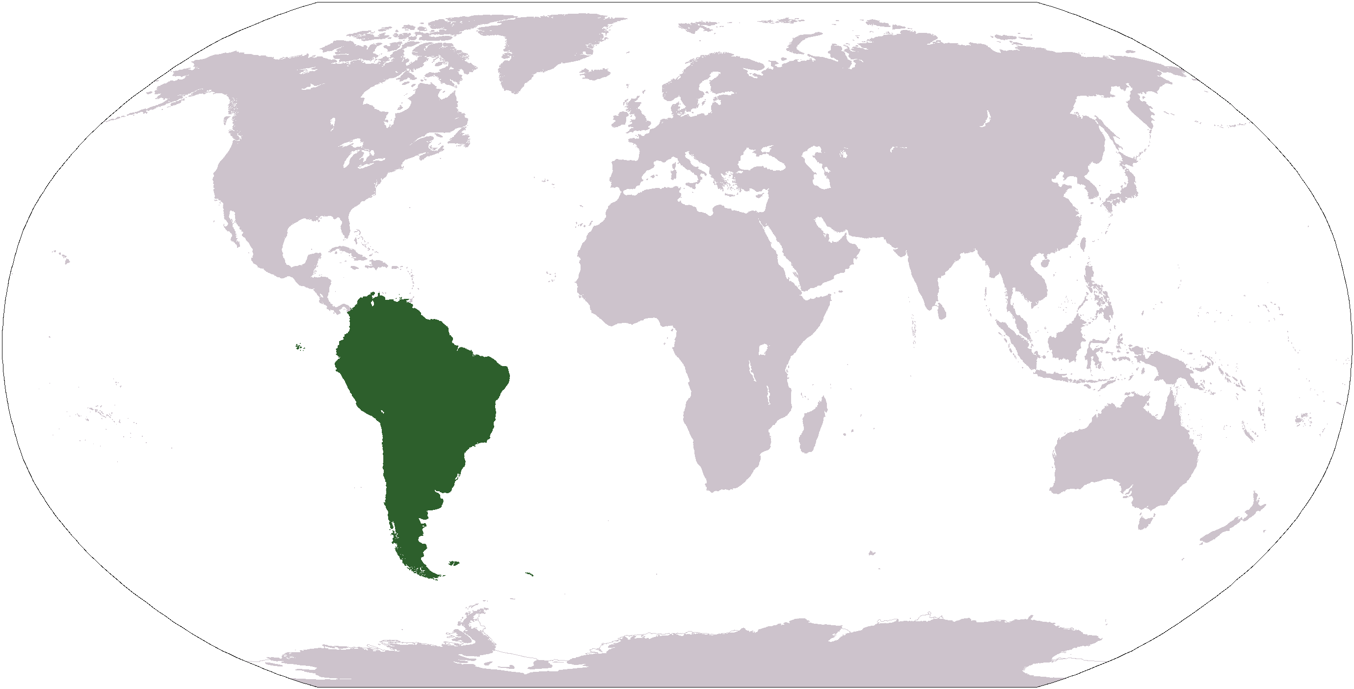
File:LocationSouthAmerica.png
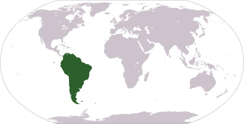
Size of this preview: 800 × 407 pixels. Other resolutions: 320 × 163 pixels | 640 × 326 pixels | 1,024 × 521 pixels | 1,280 × 651 pixels | 2,759 × 1,404 pixels.
Original file (2,759 × 1,404 pixels, file size: 101 KB, MIME type: image/png)
| This is a file from the Wikimedia Commons. The description on its description page there is shown below.
|

|
File:Location of South America.svg is a vector version of this file. It should be used in place of this PNG file when not inferior.
File:LocationSouthAmerica.png → File:Location of South America.svg
For more information, see Help:SVG. |
 |
| Description |
Deutsch: Weltkarte mit Fokus auf Südamerika
English: World map depicting South America
Esperanto: Mondmapo bildiganta Sudamerikon
Español: Ubicación de América del Sur |
| Date | (UTC) |
| Source | map adapted from PDF world map at CIA World Fact Book |
| Author | Central Intelligence Agency, Maximaximax, Ghalas, Huhsunqu, E Pluribus Anthony, Cogito ergo sumo, and Snoopen82 (via Image:LocationSouthAmerica2.png per this request) |
| Other versions |
Derivative works of this file: Wikinews Ameryka Południowa.png Formerly Image:LocationSouthAmerica2.png. |
This image is in the public domain because it contains materials that originally came from the United States Central Intelligence Agency's World Factbook.
|
 |
File history
Click on a date/time to view the file as it appeared at that time.
| Date/Time | Dimensions | User | Comment | |
|---|---|---|---|---|
| current | 05:39, 19 January 2008 | 2,759 × 1,404 (101 KB) | F l a n k e r | Transparency |
File usage
The following 2 pages use this file: