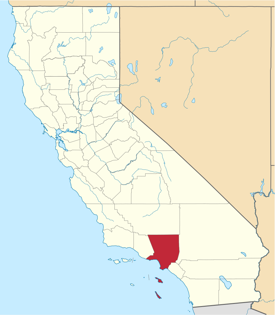
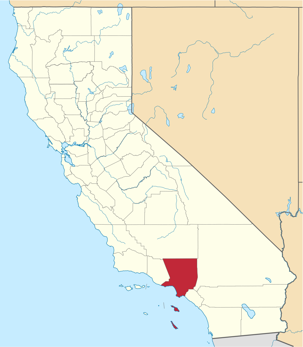
File:Map of California highlighting Los Angeles County.svg

Size of this PNG preview of this SVG file: 523 × 599 pixels. Other resolutions: 209 × 240 pixels | 419 × 480 pixels | 524 × 600 pixels | 670 × 768 pixels | 894 × 1,024 pixels | 1,022 × 1,171 pixels.
Original file (SVG file, nominally 1,022 × 1,171 pixels, file size: 488 KB)
| This is a file from the Wikimedia Commons. The description on its description page there is shown below.
|
Summary
| Description | |
| Date | |
| Source | nationalatlas.gov, specifically countyp020.tar.gz on the Raw Data Download page. The maps also use state outline data from statesp020.tar.gz. |
| Author | David Benbennick made this map. |
| Other versions | For more information, see Commons:United States county locator maps. |
| SVG development |
| I, the copyright holder of this work, release this work into the public domain. This applies worldwide. In some countries this may not be legally possible; if so: I grant anyone the right to use this work for any purpose, without any conditions, unless such conditions are required by law. |
File history
Click on a date/time to view the file as it appeared at that time.
| Date/Time | Dimensions | User | Comment | |
|---|---|---|---|---|
| current | 11:23, 25 November 2016 | 1,022 × 1,171 (488 KB) | Spartan7W | Update high quality map |
File usage
The following 99 pages use this file:
- Agoura Hills, California
- Alhambra, California
- Altadena, California
- Arcadia, California
- Artesia, California
- Avalon, California
- Azusa, California
- Baldwin Park, California
- Bell, California
- Bell Gardens, California
- Bellflower, California
- Beverly Hills, California
- Bradbury, California
- Burbank, California
- Calabasas, California
- Carson, California
- Castaic, California
- Cerritos, California
- Charter Oak, California
- Claremont, California
- Commerce, California
- Compton, California
- Covina, California
- Cudahy, California
- Culver City, California
- Diamond Bar, California
- Downey, California
- Duarte, California
- East Los Angeles, California
- El Monte, California
- El Segundo, California
- Gardena, California
- Glendale, California
- Glendora, California
- Hacienda Heights, California
- Hawaiian Gardens, California
- Hawthorne, California
- Hermosa Beach, California
- Hidden Hills, California
- Huntington Park, California
- Industry, California
- Inglewood, California
- Irwindale, California
- La Cañada Flintridge, California
- La Habra Heights, California
- La Mirada, California
- La Puente, California
- La Verne, California
- Lakewood, California
- Lancaster, California
- Lawndale, California
- List of counties in California
- Lomita, California
- Long Beach, California
- Los Angeles
- Los Angeles County, California
- Lynwood, California
- Malibu, California
- Manhattan Beach, California
- Marina del Rey, California
- Maywood, California
- Monrovia, California
- Montebello, California
- Monterey Park, California
- Norwalk, California
- Palmdale, California
- Palos Verdes Estates, California
- Paramount, California
- Pasadena, California
- Pico Rivera, California
- Pomona, California
- Rancho Palos Verdes, California
- Redondo Beach, California
- Rolling Hills, California
- Rolling Hills Estates, California
- Rosemead, California
- San Dimas, California
- San Fernando, California
- San Gabriel, California
- San Marino, California
- Santa Clarita, California
- Santa Fe Springs, California
- Santa Monica, California
- Sierra Madre, California
- Signal Hill, California
- South El Monte, California
- South Gate, California
- South Pasadena, California
- Temple City, California
- Topanga, California
- Torrance, California
- Universal City, California
- Vernon, California
- Walnut, California
- West Covina, California
- West Hollywood, California
- Westlake Village, California
- Whittier, California
- Template:Cities of Los Angeles County, California