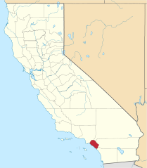
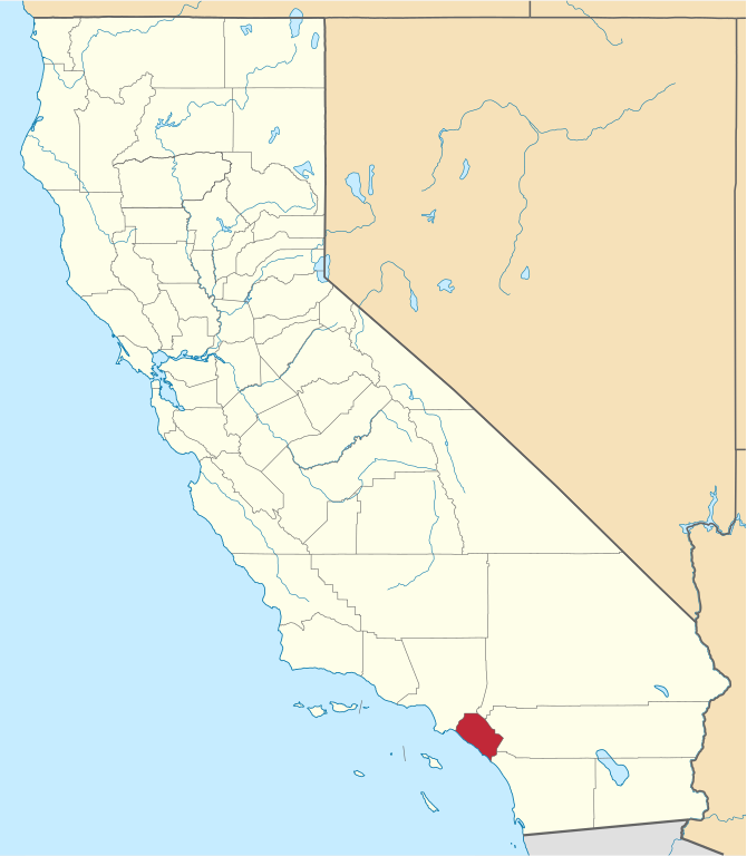
File:Map of California highlighting Orange County.svg

Size of this PNG preview of this SVG file: 523 × 599 pixels. Other resolutions: 209 × 240 pixels | 419 × 480 pixels | 524 × 600 pixels | 670 × 768 pixels | 894 × 1,024 pixels | 1,022 × 1,171 pixels.
Original file (SVG file, nominally 1,022 × 1,171 pixels, file size: 487 KB)
| This is a file from the Wikimedia Commons. The description on its description page there is shown below.
|
Summary
| Description | |
| Date | |
| Source | Own work using: nationalatlas.gov, specifically countyp020.tar.gz on the Raw Data Download page. The maps also use state outline data from statesp020.tar.gz. |
| Author | David Benbennick made this map. |
| Other versions | For more information, see Commons:United States county locator maps. |
| SVG development | This W3C-invalid locator map was created with Inkscape. |
Licensing
| I, the copyright holder of this work, release this work into the public domain. This applies worldwide. In some countries this may not be legally possible; if so: I grant anyone the right to use this work for any purpose, without any conditions, unless such conditions are required by law. |
File history
Click on a date/time to view the file as it appeared at that time.
| Date/Time | Dimensions | User | Comment | |
|---|---|---|---|---|
| current | 11:24, 25 November 2016 | 1,022 × 1,171 (487 KB) | Spartan7W | Update to HQ map |
File usage
The following 38 pages use this file:
- Aliso Viejo, California
- Anaheim, California
- Brea, California
- Buena Park, California
- Costa Mesa
- Coto de Caza, California
- Cypress, California
- Dana Point, California
- Fountain Valley, California
- Fullerton, California
- Garden Grove, California
- Irvine, California
- La Habra, California
- La Palma, California
- Laguna Beach, California
- Laguna Hills, California
- Laguna Niguel, California
- Laguna Woods, California
- Lake Forest, California
- List of counties in California
- Los Alamitos, California
- Mission Viejo, California
- Newport Beach, California
- North Tustin, California
- Orange, California
- Orange County, California
- Rancho Santa Margarita, California
- Rossmoor, California
- San Clemente, California
- San Juan Capistrano, California
- Santa Ana, California
- Seal Beach, California
- Stanton, California
- Tustin, California
- Villa Park, California
- Westminster, California
- Yorba Linda, California
- Template:Cities of Orange County, California