File:Map of Florida highlighting Palm Beach County.svg

Size of this PNG preview of this SVG file: 601 × 599 pixels. Other resolutions: 241 × 240 pixels | 481 × 480 pixels | 602 × 600 pixels | 770 × 768 pixels | 1,027 × 1,024 pixels | 7,342 × 7,321 pixels.
Original file (SVG file, nominally 7,342 × 7,321 pixels, file size: 310 KB)
| This is a file from the Wikimedia Commons. The description on its description page there is shown below.
|
Summary
| Description |
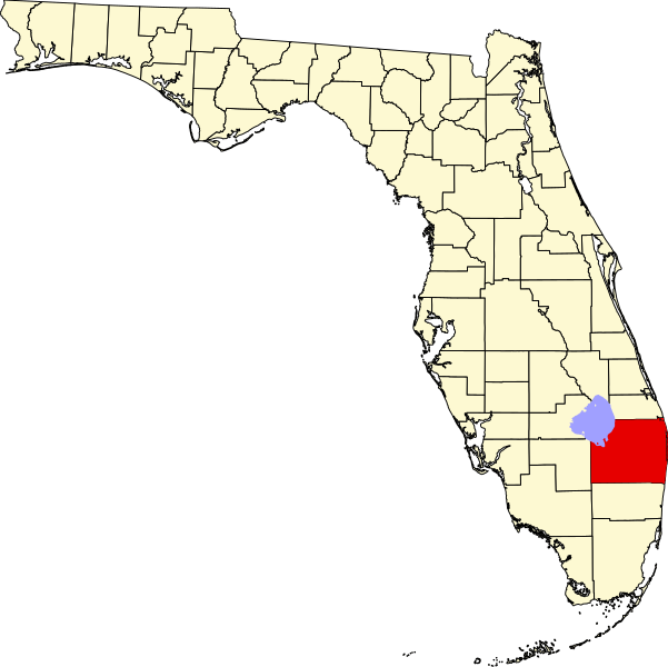
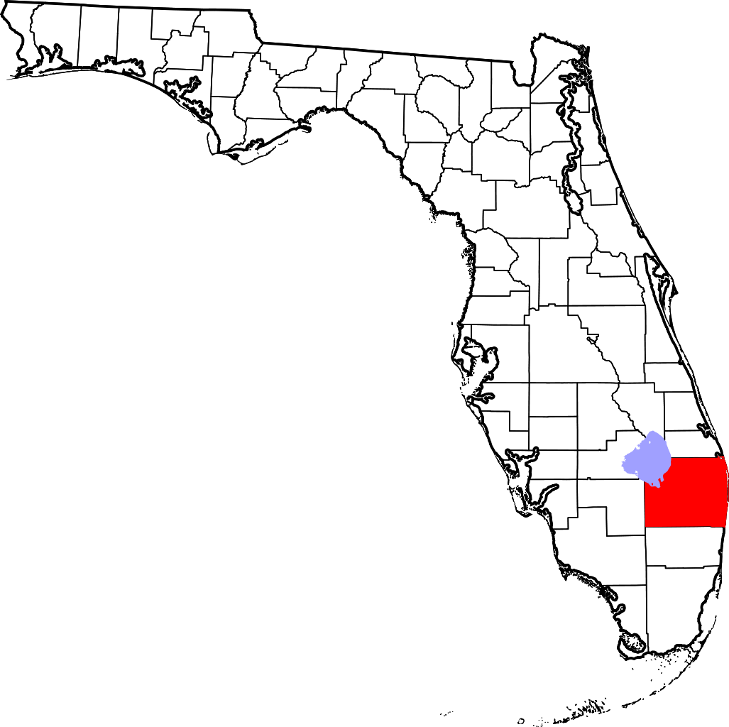
English: This is a locator map showing Palm Beach County in Florida. For more information, see Commons:United States county locator maps. |
| Date | |
| Source |
Own work: English: The maps use data from nationalatlas.gov, specifically countyp020.tar.gz on the Raw Data Download page. The maps also use state outline data from statesp020.tar.gz. The Florida maps use hydrogm020.tar.gz to display Lake Okeechobee. |
| Author | David Benbennick |
Licensing
| I, the copyright holder of this work, release this work into the public domain. This applies worldwide. In some countries this may not be legally possible; if so: I grant anyone the right to use this work for any purpose, without any conditions, unless such conditions are required by law. |
File history
Click on a date/time to view the file as it appeared at that time.
| Date/Time | Dimensions | User | Comment | |
|---|---|---|---|---|
| current | 22:42, 13 February 2006 | 7,342 × 7,321 (310 KB) | David Benbennick | New version with Lake Okeechobee |
File usage
The following 34 pages use this file:
- Atlantis, Florida
- Belle Glade, Florida
- Boca Raton, Florida
- Boynton Beach, Florida
- Briny Breezes, Florida
- Cloud Lake, Florida
- Delray Beach, Florida
- Glen Ridge, Florida
- Greenacres, Florida
- Gulf Stream, Florida
- Gun Club Estates, Florida
- Haverhill, Florida
- Juno Beach, Florida
- Jupiter, Florida
- Jupiter Inlet Colony, Florida
- Lake Clarke Shores, Florida
- Lake Park, Florida
- Lake Worth Beach, Florida
- Lantana, Florida
- List of counties in Florida
- Mangonia Park, Florida
- North Palm Beach, Florida
- Pahokee, Florida
- Palm Beach, Florida
- Palm Beach Gardens, Florida
- Palm Beach Shores, Florida
- Palm Springs, Florida
- Riviera Beach, Florida
- Royal Palm Beach, Florida
- South Bay, Florida
- Tequesta, Florida
- Wellington, Florida
- West Palm Beach, Florida
- Template:Palm Beach County, Florida