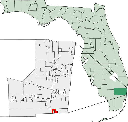
File:Map of Florida highlighting West Park.svg

Size of this PNG preview of this SVG file: 450 × 429 pixels. Other resolutions: 252 × 240 pixels | 504 × 480 pixels | 629 × 600 pixels | 806 × 768 pixels | 1,074 × 1,024 pixels.
Original file (SVG file, nominally 450 × 429 pixels, file size: 1.17 MB)
| This is a file from the Wikimedia Commons. The description on its description page there is shown below.
|
25°59′00″N 80°11′11″W / 25.98333°N 80.18639°W
Created using coordinate data from US Census Bureau, modified in accordance with incorporation data from 2000-2005 in Adobe Illustrator.

|
Permission is granted to copy, distribute and/or modify this document under the terms of the GNU Free Documentation License, Version 1.2 or any later version published by the Free Software Foundation; with no Invariant Sections, no Front-Cover Texts, and no Back-Cover Texts. A copy of the license is included in the section entitled GNU Free Documentation License. |
| This file is licensed under the Creative Commons Attribution-Share Alike 3.0 Unported license. | ||
| ||
| This licensing tag was added to this file as part of the GFDL licensing update. |
File history
Click on a date/time to view the file as it appeared at that time.
| Date/Time | Dimensions | User | Comment | |
|---|---|---|---|---|
| current | 20:15, 7 March 2007 | 450 × 429 (1.17 MB) | Bastique | {{coor dms|25|59|00|N|80|11|11|W}} Created using coordinate data from US Census Bureau, modified in accordance with incorporation data from 2000-2005 in Adobe Illustrator. {{GDFL}} [[Category:Maps of Broward County, |
File usage
The following page uses this file: