File:Map of USA GA.svg

Size of this PNG preview of this SVG file: 286 × 186 pixels. Other resolutions: 320 × 208 pixels | 640 × 416 pixels | 800 × 520 pixels | 1,024 × 666 pixels | 1,280 × 832 pixels.
Original file (SVG file, nominally 286 × 186 pixels, file size: 167 KB)
| This is a file from the Wikimedia Commons. The description on its description page there is shown below.
|
Clickable version
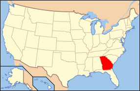
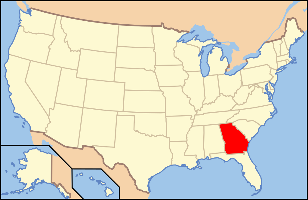
| Description | Map of USA with Georgia highlighted | ||||||||
| Date | see file history below. | ||||||||
| Source | own work by uploader, based on Image:Map of USA without state names.svg | ||||||||
| Author |
This version: uploader Base versions this one is derived from: originally created by en:User:Wapcaplet |
||||||||
| Permission (Reusing this file) |
This file is licensed under the Creative Commons Attribution 2.0 Generic license.
|
||||||||
| Other versions | image:Map of USA with state names.svg |

File history
Click on a date/time to view the file as it appeared at that time.
| Date/Time | Dimensions | User | Comment | |
|---|---|---|---|---|
| current | 23:20, 8 June 2006 | 286 × 186 (167 KB) | Huebi~commonswiki | {{Information| |Description=Map of USA with Georgia highlighted |other_versions=image:Map of USA with state names.svg }} Category:Maps of the United States Category:Maps of Georgia Category:SVG maps {{GFDL-en}}{{cc-by-2.0}}{{cc-by-sa-1. |
File usage
The following 37 pages use this file:
- Appling County, Georgia
- Bacon County, Georgia
- Baker County, Georgia
- Brooks County, Georgia
- Bulloch County, Georgia
- Calhoun County, Georgia
- Camden County, Georgia
- Chatham County, Georgia
- Clay County, Georgia
- Columbia County, Georgia
- Coweta County, Georgia
- Dooly County, Georgia
- Fulton County, Georgia
- Gilmer County, Georgia
- Glynn County, Georgia
- Hall County, Georgia
- Jenkins County, Georgia
- McDuffie County, Georgia
- Muscogee County, Georgia
- Pierce County, Georgia
- Polk County, Georgia
- Rabun County, Georgia
- Richmond County, Georgia
- Seminole County, Georgia
- Stephens County, Georgia
- Stewart County, Georgia
- Taylor County, Georgia
- Towns County, Georgia
- Troup County, Georgia
- Warren County, Georgia
- Wayne County, Georgia
- Webster County, Georgia
- Whitfield County, Georgia
- Wilcox County, Georgia
- Wilkes County, Georgia
- Wilkinson County, Georgia
- Worth County, Georgia