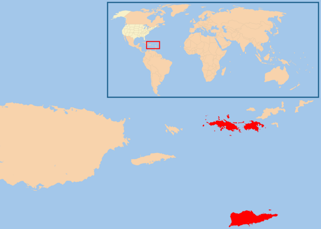
File:Map of USVI.png

Size of this preview: 800 × 571 pixels. Other resolutions: 320 × 229 pixels | 640 × 457 pixels | 1,024 × 731 pixels | 1,280 × 914 pixels | 2,100 × 1,500 pixels.
Original file (2,100 × 1,500 pixels, file size: 49 KB, MIME type: image/png)
| This is a file from the Wikimedia Commons. The description on its description page there is shown below.
|
Summary
| Description | |
| Date | |
| Source | Own work |
| Author | [User:te wiki] |
| Permission (Reusing this file) |
free commons (do whatever you want with this map) |
Licensing
| I, the copyright holder of this work, release this work into the public domain. This applies worldwide. In some countries this may not be legally possible; if so: I grant anyone the right to use this work for any purpose, without any conditions, unless such conditions are required by law. |
File history
Click on a date/time to view the file as it appeared at that time.
| Date/Time | Dimensions | User | Comment | |
|---|---|---|---|---|
| current | 01:29, 18 February 2013 | 2,100 × 1,500 (49 KB) | JohnnyMrNinja | remove unused alpha, indexed colors and increased compression |
File usage
The following page uses this file: