File:Mexico map, MX-ZAC.svg

Size of this PNG preview of this SVG file: 800 × 544 pixels. Other resolutions: 320 × 218 pixels | 640 × 435 pixels | 1,024 × 696 pixels | 1,280 × 870 pixels | 1,000 × 680 pixels.
Original file (SVG file, nominally 1,000 × 680 pixels, file size: 123 KB)
| This is a file from the Wikimedia Commons. The description on its description page there is shown below.
|
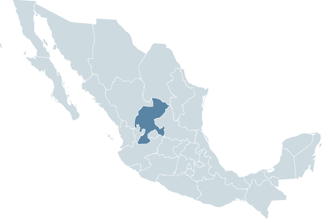
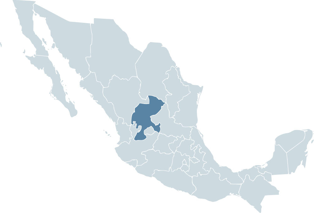
| Description | Locator map for the state of Zacatecas within Mexico. | ||||
| Date | 04-07-2007 | ||||
| Source | Mexico template.svg by Mario Fuente Cid and Lokal_Profil | ||||
| Author | Lokal_Profil | ||||
| Permission (Reusing this file) |
Original image licensed under
|
File history
Click on a date/time to view the file as it appeared at that time.
| Date/Time | Dimensions | User | Comment | |
|---|---|---|---|---|
| current | 17:11, 17 November 2009 | 1,000 × 680 (123 KB) | Addicted04 | Reverted to version as of 19:52, 19 November 2007 |
File usage
The following page uses this file: