File:Mountain gorilla (Gorilla beringei beringei) 05.jpg
Original file (4,738 × 3,159 pixels, file size: 9.35 MB, MIME type: image/jpeg)
| This is a file from the Wikimedia Commons. The description on its description page there is shown below.
|
Summary
| DescriptionMountain gorilla (Gorilla beringei beringei) 05.jpg |
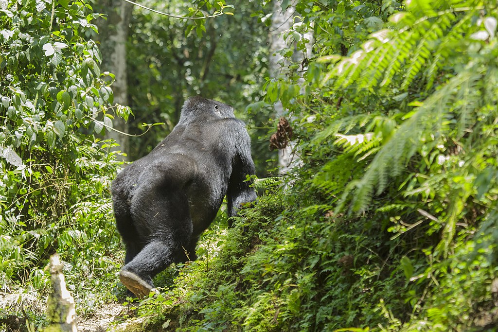
English: The image was taken during 5 weeks of traveling on an overlander camping tour through east and south Africa in 2015 |
| Date | |
| Source | Own work |
| Author | Thomas Fuhrmann |
| Camera location | 1° 05′ 19.22″ S, 29° 40′ 51.56″ E | View this and other nearby images on: OpenStreetMap |
|---|
Licensing
- You are free:
- to share – to copy, distribute and transmit the work
- to remix – to adapt the work
- Under the following conditions:
- attribution – You must give appropriate credit, provide a link to the license, and indicate if changes were made. You may do so in any reasonable manner, but not in any way that suggests the licensor endorses you or your use.
- share alike – If you remix, transform, or build upon the material, you must distribute your contributions under the same or compatible license as the original.
This image was uploaded as part of Wiki Loves Earth 2019.
aragonés | العربية | asturianu | azərbaycanca | беларуская (тарашкевіца) | български | বাংলা | brezhoneg | català | čeština | Cymraeg | Deutsch | Ελληνικά | English | español | eesti | euskara | فارسی | français | galego | עברית | hrvatski | հայերեն | Bahasa Indonesia | italiano | 日本語 | ქართული | 한국어 | latviešu | македонски | മലയാളം | मराठी | Bahasa Melayu | norsk bokmål | नेपाली | Nederlands | norsk | polski | português | português do Brasil | русский | sicilianu | shqip | slovenščina | српски / srpski | svenska | ไทย | Türkçe | українська | اردو | 中文 | 中文(台灣) | +/− |
Captions
Items portrayed in this file
depicts
15 September 2015
1°5'19.219"S, 29°40'51.557"E
0.00125 second
5.6
180 millimetre
3,200
image/jpeg
9,800,233 byte
3,159 pixel
4,738 pixel
f02cc4ea1c816116c17b8e4a68e078f4e603c42f
File history
Click on a date/time to view the file as it appeared at that time.
| Date/Time | Dimensions | User | Comment | |
|---|---|---|---|---|
| current | 03:53, 10 June 2019 | 4,738 × 3,159 (9.35 MB) | Thomas Fuhrmann Jakobsthal | User created page with UploadWizard |
File usage
The following page uses this file:
Metadata
This file contains additional information, probably added from the digital camera or scanner used to create or digitize it.
If the file has been modified from its original state, some details may not fully reflect the modified file.
| Camera manufacturer | Canon |
|---|---|
| Camera model | Canon EOS 5D Mark III |
| Author | Thomas Fuhrmann |
| Copyright holder |
|
| Exposure time | 1/800 sec (0.00125) |
| F Number | f/5.6 |
| ISO speed rating | 3,200 |
| Date and time of data generation | 11:42, 15 September 2015 |
| Lens focal length | 180 mm |
| Latitude | 1° 5′ 19.22″ S |
| Longitude | 29° 40′ 51.56″ E |
| Altitude | 2,255 meters above sea level |
| Image title |
|
| Horizontal resolution | 300 dpi |
| Vertical resolution | 300 dpi |
| Software used | Adobe Photoshop Lightroom 5.7 (Windows) |
| File change date and time | 08:20, 2 December 2015 |
| Exposure Program | Aperture priority |
| Exif version | 2.3 |
| Date and time of digitizing | 11:42, 15 September 2015 |
| APEX shutter speed | 9.643856 |
| APEX aperture | 4.970854 |
| APEX exposure bias | 1.3333333333333 |
| Maximum land aperture | 4.625 APEX (f/4.97) |
| Metering mode | Pattern |
| Flash | Flash did not fire, compulsory flash suppression |
| DateTimeDigitized subseconds | 97 |
| Focal plane X resolution | 1,600 |
| Focal plane Y resolution | 1,600 |
| Focal plane resolution unit | 3 |
| Custom image processing | Normal process |
| Exposure mode | Auto exposure |
| White balance | Manual white balance |
| Scene capture type | Standard |
| GPS time (atomic clock) | 08:42 |
| Speed unit | Kilometers per hour |
| Speed of GPS receiver | 0 |
| Reference for direction of image | Magnetic direction |
| Direction of image | 218.07 |
| Geodetic survey data used | WGS-84 |
| GPS date | 16 September 2015 |
| GPS tag version | 0.0.2.2 |
| Color space | Uncalibrated |
| Supported Flashpix version | 0,100 |
| Serial number of camera | 213020006498 |
| Lens used | EF100-400mm f/4.5-5.6L IS USM |
| Meaning of each component |
|
| Label | Rot |
| Rating (out of 5) | 2 |
| Date metadata was last modified | 09:20, 2 December 2015 |
| Unique ID of original document | 4AAA4CE5CF00C6F7B644C07E75E96F23 |
| Copyright status | Copyrighted |
| Keywords |
|
| Code for country shown | UGA |
| Sublocation of city shown | Rubuguli |
| Country shown | Uganda |
| Province or state shown | Western Region |
| IIM version | 4 |
