File:Nièvre - Clamecy arrondissement.svg

Size of this PNG preview of this SVG file: 601 × 600 pixels. Other resolutions: 240 × 240 pixels | 481 × 480 pixels | 770 × 768 pixels | 1,026 × 1,024 pixels | 1,010 × 1,008 pixels.
Original file (SVG file, nominally 1,010 × 1,008 pixels, file size: 47 KB)
| This is a file from the Wikimedia Commons. The description on its description page there is shown below.
|
Summary
| Description |
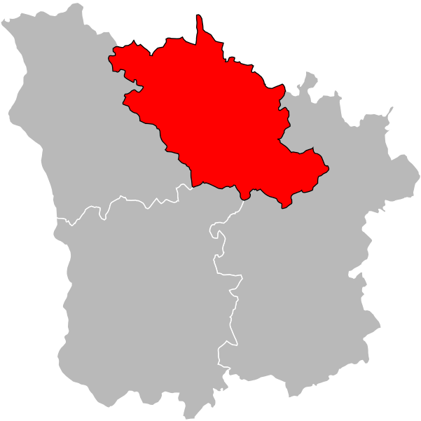
English: Locator map of Arrondissement of Clamecy in Nièvre on 2018/1/1. Français : Carte de localisation de l'arrondissement de Clamecy dans la Nièvre au 1er janvier 2018. |
| Date | |
| Source | Own work |
| Author | Poulpy |
| Permission (Reusing this file) |
Coordinates are taken from GEOFLA® Communes, a work of Institut géographique national, licensed under the Licence Ouverte. |
Licensing
I, the copyright holder of this work, hereby publish it under the following license:
This file is licensed under the Creative Commons Attribution-Share Alike 3.0 Unported license.
- You are free:
- to share – to copy, distribute and transmit the work
- to remix – to adapt the work
- Under the following conditions:
- attribution – You must give appropriate credit, provide a link to the license, and indicate if changes were made. You may do so in any reasonable manner, but not in any way that suggests the licensor endorses you or your use.
- share alike – If you remix, transform, or build upon the material, you must distribute your contributions under the same or compatible license as the original.
File history
Click on a date/time to view the file as it appeared at that time.
| Date/Time | Dimensions | User | Comment | |
|---|---|---|---|---|
| current | 14:38, 18 February 2018 | 1,010 × 1,008 (47 KB) | Pymouss | update 2017 |
File usage
There are no pages that use this file.