File:Primorsky krai blank.png

Size of this preview: 600 × 600 pixels. Other resolutions: 240 × 240 pixels | 480 × 480 pixels | 768 × 768 pixels | 1,024 × 1,024 pixels | 1,640 × 1,640 pixels.
Original file (1,640 × 1,640 pixels, file size: 149 KB, MIME type: image/png)
| This is a file from the Wikimedia Commons. The description on its description page there is shown below.
|
Summary
| Description |
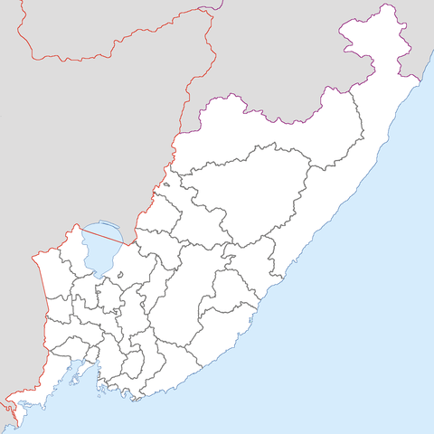
English: Blank map of Primorsky krai with district subdivision.
Русский: Бланковая карта Приморского края с границами районов. |
| Date | 27 February 2008 (original upload date) |
| Source | Transferred from ru.wikipedia to Commons. |
| Author | Chakat Rimm |
| Other versions |
 |
Licensing
| This work has been released into the public domain by its author, Chakat Rimm at Russian Wikipedia. This applies worldwide. In some countries this may not be legally possible; if so: Chakat Rimm grants anyone the right to use this work for any purpose, without any conditions, unless such conditions are required by law. |
Original upload log
The original description page was here. All following user names refer to ru.wikipedia.
- 2008-02-27 02:10 Chakat Rimm 1640×1640×8 (72838 bytes)
- 2008-02-27 01:21 Chakat Rimm 1640×1640×8 (72830 bytes) {{Изображение |Описание = Primorsky krai blank map |Автор = [[Участник:Chakat Rimm|Chakat Rimm]] |Время создания = [[2008]] |Источник = self-made |Лицензия = See
File history
Click on a date/time to view the file as it appeared at that time.
| Date/Time | Dimensions | User | Comment | |
|---|---|---|---|---|
| current | 04:20, 20 February 2009 | 1,640 × 1,640 (149 KB) | Chakat Rimm | The borders of districts are added. |
File usage
The following page uses this file: