File:River Parrett map.png

Size of this preview: 450 × 599 pixels. Other resolutions: 180 × 240 pixels | 361 × 480 pixels | 765 × 1,018 pixels.
Original file (765 × 1,018 pixels, file size: 585 KB, MIME type: image/png)
| This is a file from the Wikimedia Commons. The description on its description page there is shown below.
|
| Description |
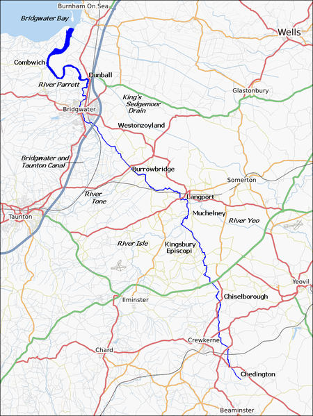
English: Map of the River Parrett, in Somerset, England. |
| Date | |
| Source | http://www.openstreetmap.org/ with some labels added by Ruhrfisch (talk) |
| Author | http://www.openstreetmap.org/, Ruhrfisch (talk) |
| Permission (Reusing this file) |
The Open Street Map Project content is licensed under the Creative Commons Attribution-Share Alike 2.0 Generic |
| Description |
This map was created from OpenStreetMap project data, collected by the community. This map may be incomplete, and may contain errors. Don't rely solely on it for navigation. |
| Date | (see file history) |
| Source | You may find a page on the OpenStreetMap wiki page for River Parrett |
| Creator |
OpenStreetMap contributors |
| Permission (Reusing this file) |
OpenStreetMap data and maps are licensed under the Creative Commons Attribution-ShareAlike 2.0 license (CC-BY-SA 2.0). This file is licensed under the Creative Commons Attribution-Share Alike 2.0 Generic license.
|
| Georeferencing | If inappropriate please set warp_status = skip to hide. |
File history
Click on a date/time to view the file as it appeared at that time.
| Date/Time | Dimensions | User | Comment | |
|---|---|---|---|---|
| current | 19:58, 12 February 2010 | 765 × 1,018 (585 KB) | Ruhrfisch | Cropped map to make it narrower, so it will diplay more detail at the same fixed width |
File usage
The following page uses this file: