File:St. George's Town, from Barrack Hill.jpg

Original file (2,330 × 1,369 pixels, file size: 1.75 MB, MIME type: image/jpeg)
| This is a file from the Wikimedia Commons. The description on its description page there is shown below.
|
| Date | 1857 | ||||
| Accession number |
British Library HMNTS 10470.d.2. |
||||
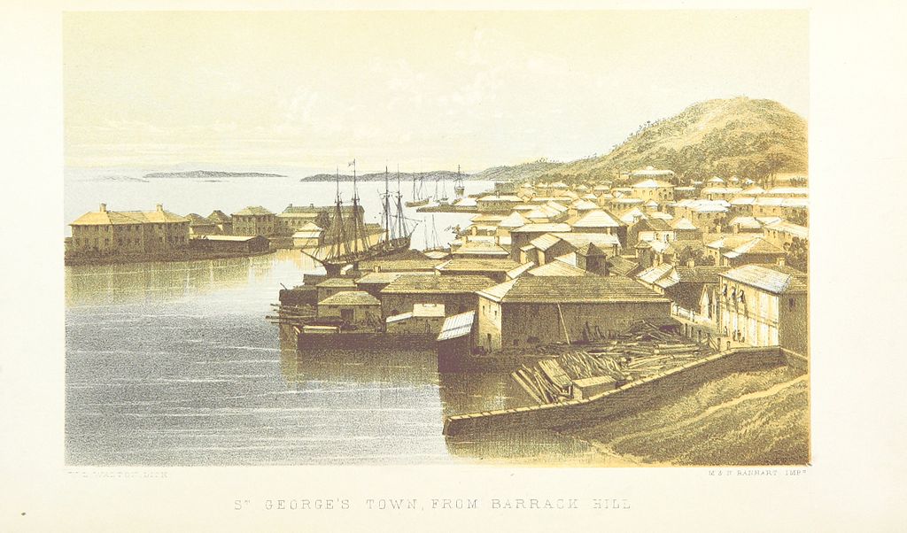
| Notes | The Army Ordnance Corps depot on Ordnance Island (left) and St. George's Town, Bermuda, as seen from Barrack Hill, above Convict Bay, part of the site of the St. George's Garrison. | ||||
| Source/Photographer |
Image extracted from page 30 of Bermuda, a colony, a fortress, and a prison; or, Eighteen months in the Somers' Islands …, by WHITTINGHAM, Ferdinand. Original held and digitised by the British Library. Copied from Flickr. Note: The colours, contrast and appearance of these illustrations are unlikely to be true to life. They are derived from scanned images that have been enhanced for machine interpretation and have been altered from their originals.
|
||||
| Permission (Reusing this file) |
|
||||

| Camera location | | View this and other nearby images on: OpenStreetMap |
|---|
File history
Click on a date/time to view the file as it appeared at that time.
| Date/Time | Dimensions | User | Comment | |
|---|---|---|---|---|
| current | 02:47, 16 February 2014 | 2,330 × 1,369 (1.75 MB) | Metilsteiner | User created page with UploadWizard |
File usage
The following page uses this file: