File:The Southern wall of the Roman city of Venta Silurum - geograph.org.uk - 1162370.jpg
No higher resolution available.
The_Southern_wall_of_the_Roman_city_of_Venta_Silurum_-_geograph.org.uk_-_1162370.jpg (640 × 480 pixels, file size: 185 KB, MIME type: image/jpeg)
| This is a file from the Wikimedia Commons. The description on its description page there is shown below.
|
Summary
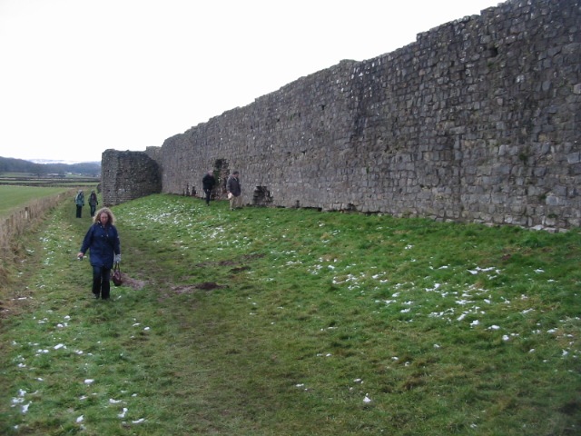
| Description | The Southern wall of the Roman city of Venta Silurum |
| Date | |
| Source | From geograph.org.uk; transferred by User:Kurpfalzbilder.de using geograph_org2commons. |
| Author | Nick Smith |
| Permission (Reusing this file) |
Creative Commons Attribution Share-alike license 2.0 |
| Attribution (required by the license) | Nick Smith / The Southern wall of the Roman city of Venta Silurum / |
| Camera location | | View this and other nearby images on: OpenStreetMap |
|---|
| Object location | | View this and other nearby images on: OpenStreetMap |
|---|
_region:GB-EAW_heading:270.00&language=en)
Licensing

|
This image was taken from the Geograph project collection. See this photograph's page on the Geograph website for the photographer's contact details. The copyright on this image is owned by Nick Smith and is licensed for reuse under the Creative Commons Attribution-ShareAlike 2.0 license.
|
This file is licensed under the Creative Commons Attribution-Share Alike 2.0 Generic license.
Attribution: Nick Smith
- You are free:
- to share – to copy, distribute and transmit the work
- to remix – to adapt the work
- Under the following conditions:
- attribution – You must give appropriate credit, provide a link to the license, and indicate if changes were made. You may do so in any reasonable manner, but not in any way that suggests the licensor endorses you or your use.
- share alike – If you remix, transform, or build upon the material, you must distribute your contributions under the same or compatible license as the original.
File history
Click on a date/time to view the file as it appeared at that time.
| Date/Time | Dimensions | User | Comment | |
|---|---|---|---|---|
| current | 03:59, 12 May 2009 | 640 × 480 (185 KB) | File Upload Bot (Magnus Manske) | == Summary == {{Information |Description=The Southern wall of the Roman city of Venta Silurum |Source=From [http://www.geograph.org.uk/photo/1162370 geograph.org.uk]; transferd by User:Kurpfalzbilder.de using [http://toolserver.org/~magnus/geograph_o |
File usage
The following page uses this file: