File:Vojvodina map02.png

Size of this preview: 750 × 600 pixels. Other resolutions: 300 × 240 pixels | 600 × 480 pixels | 964 × 771 pixels.
Original file (964 × 771 pixels, file size: 48 KB, MIME type: image/png)
| This is a file from the Wikimedia Commons. The description on its description page there is shown below.
|
Summary
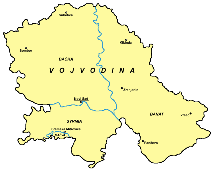
English: Map of Vojvodina
Српски / srpski: Мапа Војводине
Svenska: Bild över Vojvodina
References
- Slobodan Radovanović, Geografski atlas, Magic Map, Smederevska Palanka, 2001.
- Školski geografski atlas, Intersistem Kartografija, Beograd, 2004.
- Denis Šehić - Demir Šehić, Geografski atlas Srbije, Beograd, 2007.
- Popis stanovništva, domaćinstava i stanova u 2002., Stanovništvo, nacionalna ili etnička pripadnost - Podaci po naseljima, knjiga 1, Republika Srbija - Republički zavod za statistiku, Beograd, februar 2003.
Source and licence
self made map by user:PANONIAN
| This work has been released into the public domain by its author, PANONIAN. This applies worldwide. In some countries this may not be legally possible; if so: |
File history
Click on a date/time to view the file as it appeared at that time.
| Date/Time | Dimensions | User | Comment | |
|---|---|---|---|---|
| current | 13:46, 4 November 2012 | 964 × 771 (48 KB) | PANONIAN | minor color change |
File usage
The following 2 pages use this file: