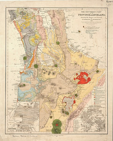
File:1859 Hochstetter map The Southern Part of the Province of Auckland.jpg

Size of this preview: 481 × 600 pixels. Other resolutions: 192 × 240 pixels | 385 × 480 pixels | 616 × 768 pixels | 821 × 1,024 pixels | 2,500 × 3,116 pixels.
Original file (2,500 × 3,116 pixels, file size: 2.91 MB, MIME type: image/jpeg)
File history
Click on a date/time to view the file as it appeared at that time.
| Date/Time | Dimensions | User | Comment | |
|---|---|---|---|---|
| current | 02:36, 24 June 2021 | 2,500 × 3,116 (2.91 MB) | Johnragla | Uploaded a work by Hochstetter from https://kura.aucklandlibraries.govt.nz/digital/collection/maps/id/1 with UploadWizard |
File usage
The following page uses this file:
