File:188Lumot, Cavinti, Laguna 13.jpg

Size of this preview: 800 × 600 pixels. Other resolutions: 320 × 240 pixels | 640 × 480 pixels | 1,024 × 768 pixels | 1,280 × 960 pixels | 4,608 × 3,456 pixels.
Original file (4,608 × 3,456 pixels, file size: 6.4 MB, MIME type: image/jpeg)
| This is a file from the Wikimedia Commons. The description on its description page there is shown below.
|
Summary
| Description |
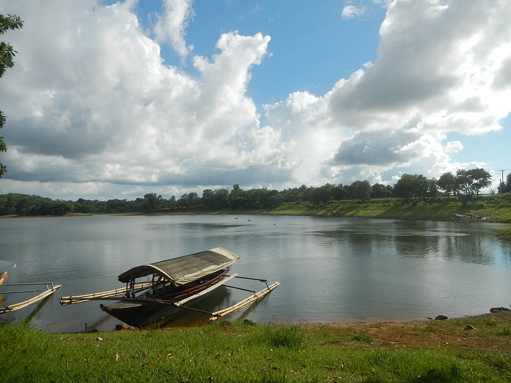
English: Caliraya-Lumot Watershed Reservation Proclaimed Pres. Proc. 573 Caliraya and Lumot Reservoir Forest Reserve on NIC Plan Executive Order No. 224 Lumot, Cavinti, Laguna Silangan, Talaongan, Cavinti, Laguna along the Cavinti-Caliraya Zigzag Road (Kanluran & Silangan, Talaongan-Lumot) of the Cavinti-Caliraya Road Kanluran, Talaongan, Cavinti, Laguna from the Lumban-Caliraya Road 8,310 L.M. of the Lumban-Cavinti Road interconnecting with the scenic 14.120 L.M. Caliraya - Cavinti Road or Cavinti-Caliraya Road by Lake Caliraya with its New Caliraya Spillway under National Power Corporation of Caliraya Dam Lumot Dam Lumot Lake Sierra Madre (Philippines)
Caliraya-Lumot Watershed Area corner or from Lumban National Highway Barangays Lewin, Lumban, Laguna 14.3008, 121.4813 Caliraya 14°18'33"N 121°33'18"E Lumban, Laguna List of barangays in Laguna (province) bounded by Barangay Kanluran Talaongan, Cavinti, Laguna 14.2629, 121.5470 Silangan Talaongan, Cavinti, Laguna 14.2622, 121.5333 Lumot, Cavinti, Laguna 14°15'4"N 121°33'1"E Cavinti Laguna from or along the Calamba-Santa Cruz-Famy Junction Road which was declared a national road by the Chief Executive (Executive Order No. 71, series of 1936, as amended by Executive Order No. 311, series of 1940) Manila East Road interconnecting with en:Calamba–Pagsanjan Road Philippine highway network (Note: Judge Florentino Floro, the owner, to repeat, Donor Florentino Floro of all these photos hereby donate gratuitously, freely and unconditionally Judge Floro all these photos to and for Wikimedia Commons, exclusively, for public use of the public domain, and again without any condition whatsoever). |
| Date | |
| Source | Own work |
| Author | Judgefloro |
| Camera location | | View this and other nearby images on: OpenStreetMap |
|---|
Lumot, Cavinti, Laguna 14°15'4"N 121°33'1"E
Licensing
I, the copyright holder of this work, hereby publish it under the following license:
| This file is made available under the Creative Commons CC0 1.0 Universal Public Domain Dedication. | |
| The person who associated a work with this deed has dedicated the work to the public domain by waiving all of their rights to the work worldwide under copyright law, including all related and neighboring rights, to the extent allowed by law. You can copy, modify, distribute and perform the work, even for commercial purposes, all without asking permission.
|
File history
Click on a date/time to view the file as it appeared at that time.
| Date/Time | Dimensions | User | Comment | |
|---|---|---|---|---|
| current | 21:04, 19 June 2019 | 4,608 × 3,456 (6.4 MB) | Judgefloro | User created page with UploadWizard |
File usage
The following page uses this file: