File:AMS - Series P502 - North Africa - NF-37-05-4TH-ED Halaib.jpg

Size of this preview: 789 × 600 pixels. Other resolutions: 316 × 240 pixels | 632 × 480 pixels | 1,011 × 768 pixels | 1,280 × 973 pixels | 5,000 × 3,800 pixels.
Original file (5,000 × 3,800 pixels, file size: 5.04 MB, MIME type: image/jpeg)
| This is a file from the Wikimedia Commons. The description on its description page there is shown below.
|
Summary
| Description |
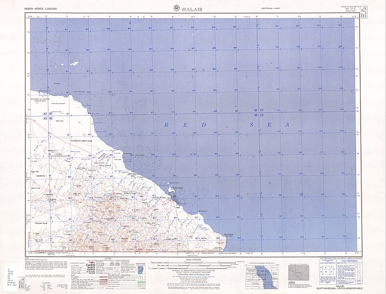
English: map sheet of south east Egypt/north east Sudan, containing easternmost portion of Halaib Triangle, with Halaib town |
| Date | |
| Source | http://www.lib.utexas.edu/maps/ams/north_africa/txu-oclc-6949452-nf37-5-4th-ed.jpg |
| Author | Army Map Service |
Licensing
This file is a work of a U.S. Army soldier or employee, taken or made as part of that person's official duties. As a work of the U.S. federal government, it is in the public domain in the United States.
|
 |
File history
Click on a date/time to view the file as it appeared at that time.
| Date/Time | Dimensions | User | Comment | |
|---|---|---|---|---|
| current | 11:14, 12 June 2010 | 5,000 × 3,800 (5.04 MB) | Ratzer | {{Information |Description={{en|1=map sheet of south east Egypt/north east Sudan, containing easternmost portion of Halaib Triangle, with Halaib town}} |Source=http://www.lib.utexas.edu/maps/ams/north_africa/txu-oclc-6949452-nf37-5-4th-ed.jpg |Author=Army |
File usage
The following page uses this file: