File:Allied army positions on 10 May 1945.png
Size of this preview: 800 × 506 pixels. Other resolutions: 320 × 202 pixels | 640 × 405 pixels | 1,024 × 648 pixels | 1,216 × 769 pixels.
Original file (1,216 × 769 pixels, file size: 550 KB, MIME type: image/png)
| This is a file from the Wikimedia Commons. The description on its description page there is shown below.
|

|
This military map image could be re-created using vector graphics as an SVG file. This has several advantages; see Commons:Media for cleanup for more information. If an SVG form of this image is available, please upload it and afterwards replace this template with
{{vector version available|new image name}}.It is recommended to name the SVG file “Allied army positions on 10 May 1945.svg”—then the template Vector version available (or Vva) does not need the new image name parameter. |
| Description |
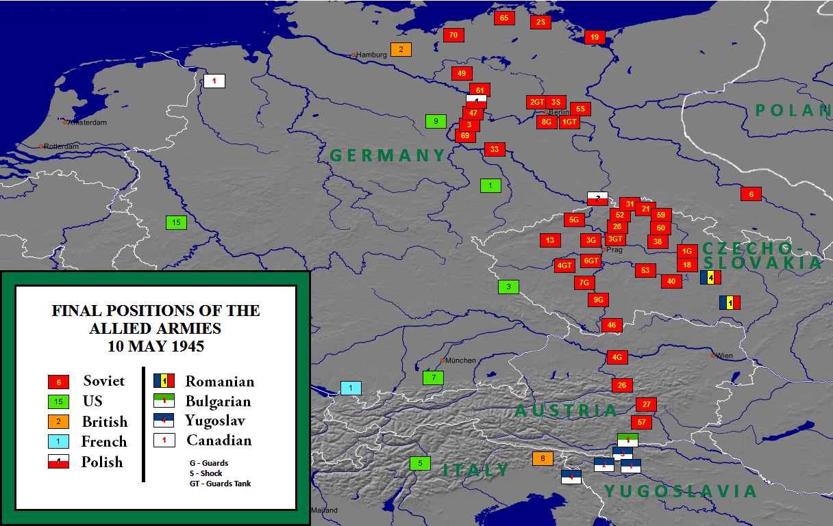
English: Allied army positions on 10 May 1945 |
| Date | |
| Source | http://en.wikipedia.org/wiki/File:Allied_army_positions_on_10_May_1945.png |
| Author | User:W. B. Wilson |
| Permission (Reusing this file) |
I, the copyright holder of this work, hereby publish it under the following license: This file is licensed under the Creative Commons Attribution-Share Alike 3.0 Unported license.
|
| Other versions |
|

Original upload log
The original description page is/was here. All following user names refer to en.wikipedia.
- 17:35, November 8, 2010 W. B. Wilson (294 bytes) (Position of Allied and Soviet armies on 10 May 1945. Made with MapCreator 1.0 software by W. B. Wilson. The maps created with MapCreator 1.0 can be used in all media and require no licence. See http://www.primap.com/en/index.html archive copy at the
Wayback Machine for details.)
File history
Click on a date/time to view the file as it appeared at that time.
| Date/Time | Dimensions | User | Comment | |
|---|---|---|---|---|
| current | 18:45, 1 November 2019 | 1,216 × 769 (550 KB) | Illegitimate Barrister | typos fixed |
File usage
The following page uses this file: