File:AmundsenSea.jpg
Size of this preview: 800 × 566 pixels. Other resolutions: 320 × 226 pixels | 640 × 452 pixels | 1,024 × 724 pixels | 1,280 × 905 pixels | 2,808 × 1,985 pixels.
Original file (2,808 × 1,985 pixels, file size: 1.12 MB, MIME type: image/jpeg)
| This is a file from the Wikimedia Commons. The description on its description page there is shown below.
|
Summary
| Description |
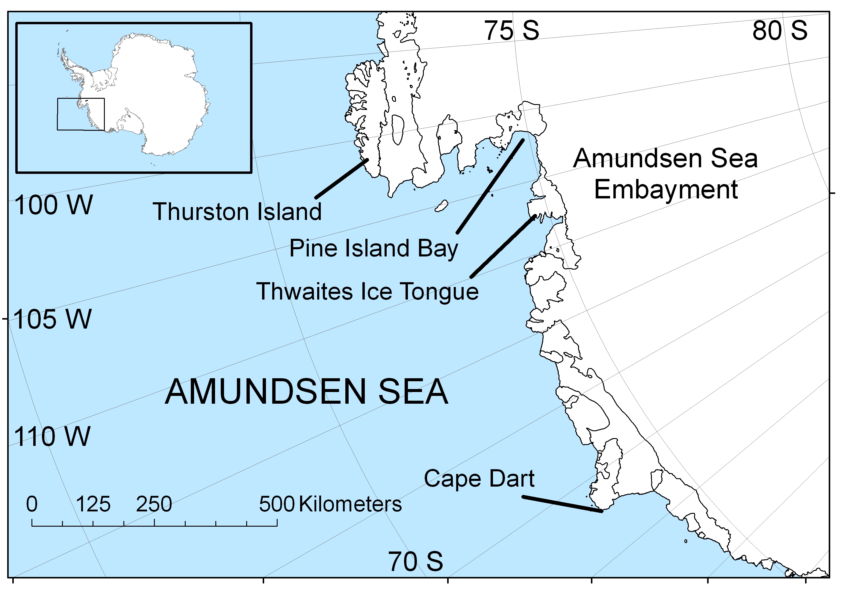
English: Map of the Amundsen Sea area of Antarctica |
| Date | |
| Source | Own work |
| Author | Polargeo |
| Other versions | العربيَّة |
Licensing
| I, the copyright holder of this work, release this work into the public domain. This applies worldwide. In some countries this may not be legally possible; if so: I grant anyone the right to use this work for any purpose, without any conditions, unless such conditions are required by law. |
File history
Click on a date/time to view the file as it appeared at that time.
| Date/Time | Dimensions | User | Comment | |
|---|---|---|---|---|
| current | 09:22, 30 April 2009 | 2,808 × 1,985 (1.12 MB) | Polargeo | {{Information |Description={{en|1=Map of the Amundsen Sea area of Antarctica}} |Source=Own work by uploader |Author=Polargeo |Date=2009-04-30 |Permission= |other_versions= }} <!--{{ImageUpload|full}}--> |
File usage
The following page uses this file: