File:Antarctica.jpg

Size of this preview: 486 × 599 pixels. Other resolutions: 195 × 240 pixels | 389 × 480 pixels | 486 × 600 pixels | 623 × 768 pixels | 830 × 1,024 pixels | 2,787 × 3,437 pixels.
Original file (2,787 × 3,437 pixels, file size: 2.06 MB, MIME type: image/jpeg)
| This is a file from the Wikimedia Commons. The description on its description page there is shown below.
|

|
File:Antarctica.CIA.svg is a vector version of this file. It should be used in place of this JPG file when not inferior.
File:Antarctica.jpg → File:Antarctica.CIA.svg
For more information, see Help:SVG. |
 |
Summary
| Description |
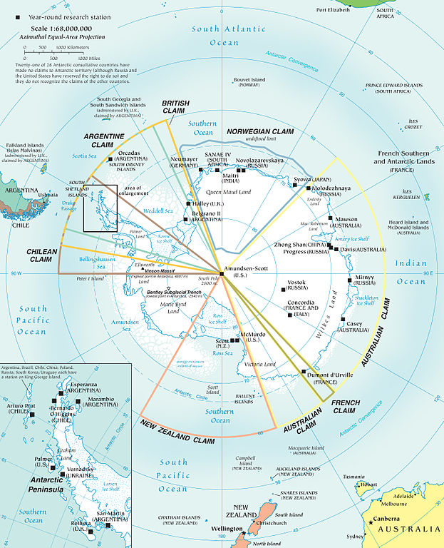
Español: Mapa de la Antártida |
| Source |
Map of Antarctica from en:Image:Antarctica.jpg Political map and research stations (2002) It is possible for an administrator to change the files with a delinker/linker tool? Manually i would need hours to make the changes.--Ras67 (talk) 20:40, 2 December 2010 (UTC) |
| Author | |
| Other versions |
[]
|


Licensing
This image is in the public domain because it contains materials that originally came from the United States Central Intelligence Agency's World Factbook.
|
 |
(Delete all revisions of this file) (cur) 16:45, 9 September 2005 . . Marknew (Talk) . . 1124x1400 (402970 bytes) (Higher quality and updated image (from PDF).)
(del) (rev) 02:39, 6 February 2005 . . Hfastedge (Talk) . . 990x1220 (210964 bytes) (Reverted to earlier revision)
(del) (rev) 01:58, 6 February 2005 . . DanQuixote (Talk) . . 519x659 (95411 bytes) (Reverted to earlier revision)
(del) (rev) 01:55, 6 February 2005 . . DanQuixote (Talk) . . 990x1220 (210964 bytes) (Antartica political map and research stations (2002))
(del) (rev) 11:49, 20 July 2002 . . . . 519x659 (95411 bytes)
Public domain, produced by the U.S. Central Intelligence Agency.[1] archive copy at the Wayback Machine
Larger file available at: The General Libraries, The University of Texas at Austin. [2]
![[2]](http://www.lib.utexas.edu/maps/islands_oceans_poles/antarctic_region_pol02.jpg)
File history
Click on a date/time to view the file as it appeared at that time.
| Date/Time | Dimensions | User | Comment | |
|---|---|---|---|---|
| current | 11:18, 3 December 2010 | 2,787 × 3,437 (2.06 MB) | Ras67 | JPEG version of Antarctic_Region.png |
File usage
The following page uses this file: