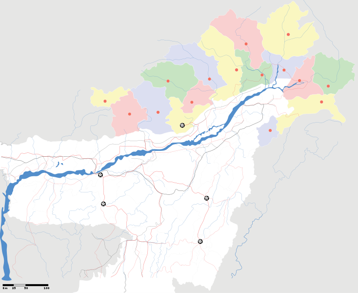
File:Arunachal Pradesh locator map.svg

Size of this PNG preview of this SVG file: 734 × 600 pixels. Other resolutions: 294 × 240 pixels | 587 × 480 pixels | 940 × 768 pixels | 1,253 × 1,024 pixels | 2,393 × 1,956 pixels.
Original file (SVG file, nominally 2,393 × 1,956 pixels, file size: 263 KB)
File history
Click on a date/time to view the file as it appeared at that time.
| Date/Time | Dimensions | User | Comment | |
|---|---|---|---|---|
| current | 11:04, 16 April 2007 | 2,393 × 1,956 (263 KB) | Planemad | {{WikiProject_India_Maps |Title=Arunachal Pradesh locator Map |Description=Map of w:Arunachal Pradesh with road and rail lines |Source= [http://www.iitg.ernet.in/rcilts/assam_political.jpg IIT Guwahati - Assam Political map], [http://arunachalgovernor |
File usage
The following page uses this file: