File:Autódromo Oscar y Juan Gálvez Circuito N° 6 por Senna.svg

Size of this PNG preview of this SVG file: 679 × 600 pixels. Other resolutions: 272 × 240 pixels | 543 × 480 pixels | 869 × 768 pixels | 1,159 × 1,024 pixels | 1,200 × 1,060 pixels.
Original file (SVG file, nominally 1,200 × 1,060 pixels, file size: 195 KB)
| This is a file from the Wikimedia Commons. The description on its description page there is shown below.
|
Summary
| Description |
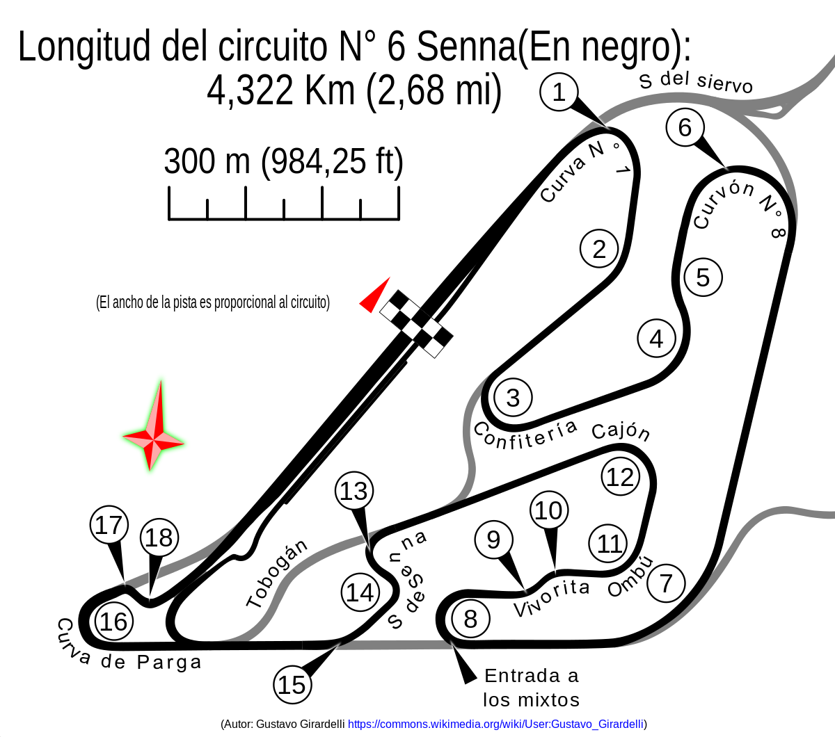
Español: Autódromo Osca y Juan Gálvez Circuito N° 6 con la S de Senna |
|||
| Date | ||||
| Source |
This W3C-unspecified vector image was created with Inkscape . W3C-validity not checked. |
|||
| Author | Gustavo Girardelli | |||
| Other versions |
W3C-validity not checked.
|
.svg)
.svg)
_(Hist%C3%B3rico).svg)
.svg)


.svg)


_blanco.svg)
| Camera location | | View this and other nearby images on: OpenStreetMap |
|---|
Licensing
I, the copyright holder of this work, hereby publish it under the following license:
This file is licensed under the Creative Commons Attribution-Share Alike 4.0 International license.
- You are free:
- to share – to copy, distribute and transmit the work
- to remix – to adapt the work
- Under the following conditions:
- attribution – You must give appropriate credit, provide a link to the license, and indicate if changes were made. You may do so in any reasonable manner, but not in any way that suggests the licensor endorses you or your use.
- share alike – If you remix, transform, or build upon the material, you must distribute your contributions under the same or compatible license as the original.
File history
Click on a date/time to view the file as it appeared at that time.
| Date/Time | Dimensions | User | Comment | |
|---|---|---|---|---|
| current | 22:23, 15 September 2014 | 1,200 × 1,060 (195 KB) | Gustavo Girardelli | Nueva versión basada en áreas. |
File usage
The following 2 pages use this file: