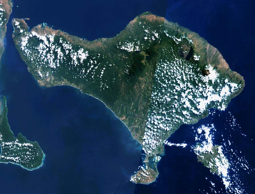
File:BaliLandsat001.jpg
Size of this preview: 788 × 600 pixels. Other resolutions: 315 × 240 pixels | 631 × 480 pixels | 896 × 682 pixels.
Original file (896 × 682 pixels, file size: 133 KB, MIME type: image/jpeg)
| This is a file from the Wikimedia Commons. The description on its description page there is shown below.
|
Summary
| Description | |||
| Date | 14 November 2004 (original upload date) | ||
| Source |
Transferred from ja.Wikipedia; ja:ファイル:BaliLandsat001.jpg
|
||
| Author | Global Land Cover Facility (GLCF)、っ at Japanese Wikipedia |
Licensing
| This file is licensed under the Creative Commons Attribution-Share Alike 3.0 Unported license. Subject to disclaimers. | ||
| ||
| This licensing tag was added to this file as part of the GFDL licensing update. |

|
Permission is granted to copy, distribute and/or modify this document under the terms of the GNU Free Documentation License, Version 1.2 or any later version published by the Free Software Foundation; with no Invariant Sections, no Front-Cover Texts, and no Back-Cover Texts. A copy of the license is included in the section entitled GNU Free Documentation License. Subject to disclaimers. |
Original upload log
| This file was moved from Japanese Wikipedia.
See below for original file information. | ||||||||||||||||||||||||||||||||
| ||||||||||||||||||||||||||||||||
|
| ||||||||||||||||||||||||||||||||
File history
Click on a date/time to view the file as it appeared at that time.
| Date/Time | Dimensions | User | Comment | |
|---|---|---|---|---|
| current | 01:04, 22 November 2010 | 896 × 682 (133 KB) | File Upload Bot (Magnus Manske) | {{BotMoveToCommons|ja.wikipedia|year={{subst:CURRENTYEAR}}|month={{subst:CURRENTMONTHNAME}}|day={{subst:CURRENTDAY}}}} {{Information |Description={{ja|バリ島のLandsat衛星写真}} |Source=Transferred from [http://ja.wikipedia.org ja.wikipedia]; tran |
File usage
The following page uses this file: