File:Bamako ACI 2000 Aeriel.jpg

Size of this preview: 800 × 449 pixels. Other resolutions: 320 × 180 pixels | 640 × 360 pixels | 1,024 × 575 pixels | 1,280 × 719 pixels | 5,172 × 2,906 pixels.
Original file (5,172 × 2,906 pixels, file size: 11.1 MB, MIME type: image/jpeg)
| This is a file from the Wikimedia Commons. The description on its description page there is shown below.
|
Summary
| Description |
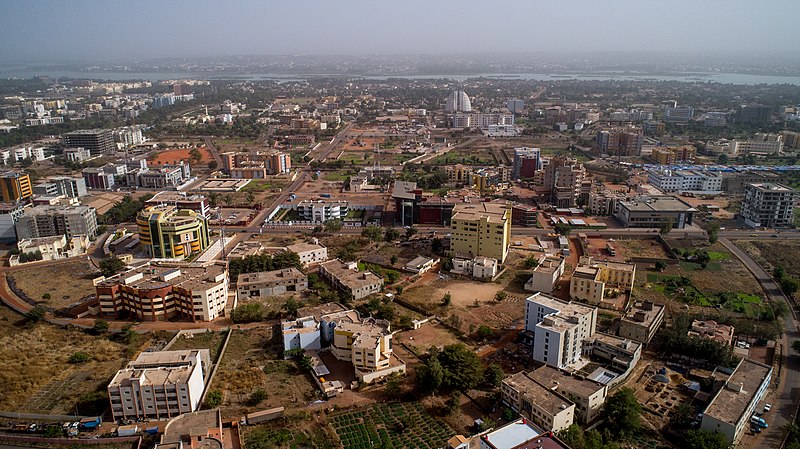
English: A view of the ACI 2000 neighborhood of Bamako, Mali with the Niger River in the background.
|
||
| Date | |||
| Source | Own work | ||
| Author | Mark Fischer |
| Camera location | | View this and other nearby images on: OpenStreetMap |
|---|
Licensing
I, the copyright holder of this work, hereby publish it under the following license:
This file is licensed under the Creative Commons Attribution-Share Alike 4.0 International license.
- You are free:
- to share – to copy, distribute and transmit the work
- to remix – to adapt the work
- Under the following conditions:
- attribution – You must give appropriate credit, provide a link to the license, and indicate if changes were made. You may do so in any reasonable manner, but not in any way that suggests the licensor endorses you or your use.
- share alike – If you remix, transform, or build upon the material, you must distribute your contributions under the same or compatible license as the original.

|
This image was uploaded as part of Wiki Loves Africa 2022 photographic contest.
|
File history
Click on a date/time to view the file as it appeared at that time.
| Date/Time | Dimensions | User | Comment | |
|---|---|---|---|---|
| current | 07:17, 15 February 2022 | 5,172 × 2,906 (11.1 MB) | FischerFotos | Uploaded own work with UploadWizard |
File usage
The following page uses this file: