File:Bethel Alaska aerial view.jpg

Size of this preview: 641 × 599 pixels. Other resolutions: 257 × 240 pixels | 513 × 480 pixels | 642 × 600 pixels | 821 × 768 pixels | 1,095 × 1,024 pixels | 1,493 × 1,396 pixels.
Original file (1,493 × 1,396 pixels, file size: 843 KB, MIME type: image/jpeg)
| This is a file from the Wikimedia Commons. The description on its description page there is shown below.
|
Summary
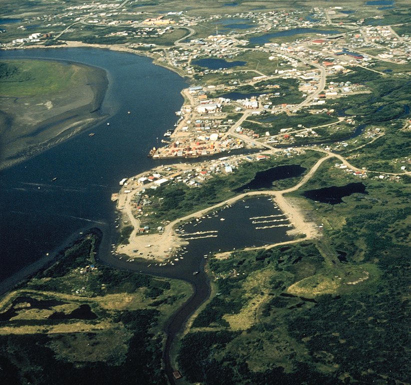
| Description | Aerial view of Bethel, Alaska. |
| Date | not specified or unknown |
| Source |
U.S. Army Corps of Engineers Digital Visual Library
|
| Author | U.S. Army Corps of Engineers, photographer not specified or unknown |
| Permission (Reusing this file) |
Public Domain |
| Object location | | View this and other nearby images on: OpenStreetMap |
|---|
Licensing
This image or file is a work of a U.S. Army Corps of Engineers soldier or employee, taken or made as part of that person's official duties. As a work of the U.S. federal government, the image is in the public domain.
|
File history
Click on a date/time to view the file as it appeared at that time.
| Date/Time | Dimensions | User | Comment | |
|---|---|---|---|---|
| current | 15:13, 10 June 2017 | 1,493 × 1,396 (843 KB) | Kingofthedead | Cropped < 1 % horizontally using CropTool with precise mode. |
File usage
The following page uses this file: