File:Bhadrachalam Ghat 11.jpg

Size of this preview: 800 × 533 pixels. Other resolutions: 320 × 213 pixels | 640 × 427 pixels | 1,024 × 683 pixels | 1,280 × 853 pixels | 4,000 × 2,667 pixels.
Original file (4,000 × 2,667 pixels, file size: 8.03 MB, MIME type: image/jpeg)
| This is a file from the Wikimedia Commons. The description on its description page there is shown below.
|
Summary
| Description |
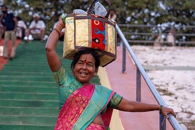
English: Godavari Ghat is one of the most important religious sites in Bhadrachalam and is considered as the main ghat. Many pilgrims consider it mandatory to take a ritual dip in the Godavari before paying a visit to Lord Rama in the temple as it is believed to be purifying for the soul. The Ghat has well built in steps and changing rooms. |
| Date | |
| Source | Own work |
| Author | Iharishs |
| Camera location | | View this and other nearby images on: OpenStreetMap |
|---|
Licensing
I, the copyright holder of this work, hereby publish it under the following license:
This file is licensed under the Creative Commons Attribution-Share Alike 4.0 International license.
- You are free:
- to share – to copy, distribute and transmit the work
- to remix – to adapt the work
- Under the following conditions:
- attribution – You must give appropriate credit, provide a link to the license, and indicate if changes were made. You may do so in any reasonable manner, but not in any way that suggests the licensor endorses you or your use.
- share alike – If you remix, transform, or build upon the material, you must distribute your contributions under the same or compatible license as the original.

|
Although this work is freely licensed or in the public domain, the person(s) shown may have rights that legally restrict certain re-uses unless those depicted consent to such uses. In these cases, a model release or other evidence of consent could protect you from infringement claims. Though not obliged to do so, the uploader may be able to help you to obtain such evidence. See our general disclaimer for more information. |
This image has been assessed using the Quality image guidelines and is considered a Quality image.
|
File history
Click on a date/time to view the file as it appeared at that time.
| Date/Time | Dimensions | User | Comment | |
|---|---|---|---|---|
| current | 23:38, 8 May 2024 | 4,000 × 2,667 (8.03 MB) | IM3847 | denoised and increased brightness |
File usage
There are no pages that use this file.