File:Brazil Labelled Map.svg

Original file(SVG file, nominally 780 × 687 pixels, file size: 400 KB)

Commons-logo.svg This is a file from the Wikimedia Commons. The description on its description page there is shown below.
Commons is a freely licensed media file repository. You can help.
This image was created / taken by João Felipe C.S.  pt  en  es  it  fr  de
Description
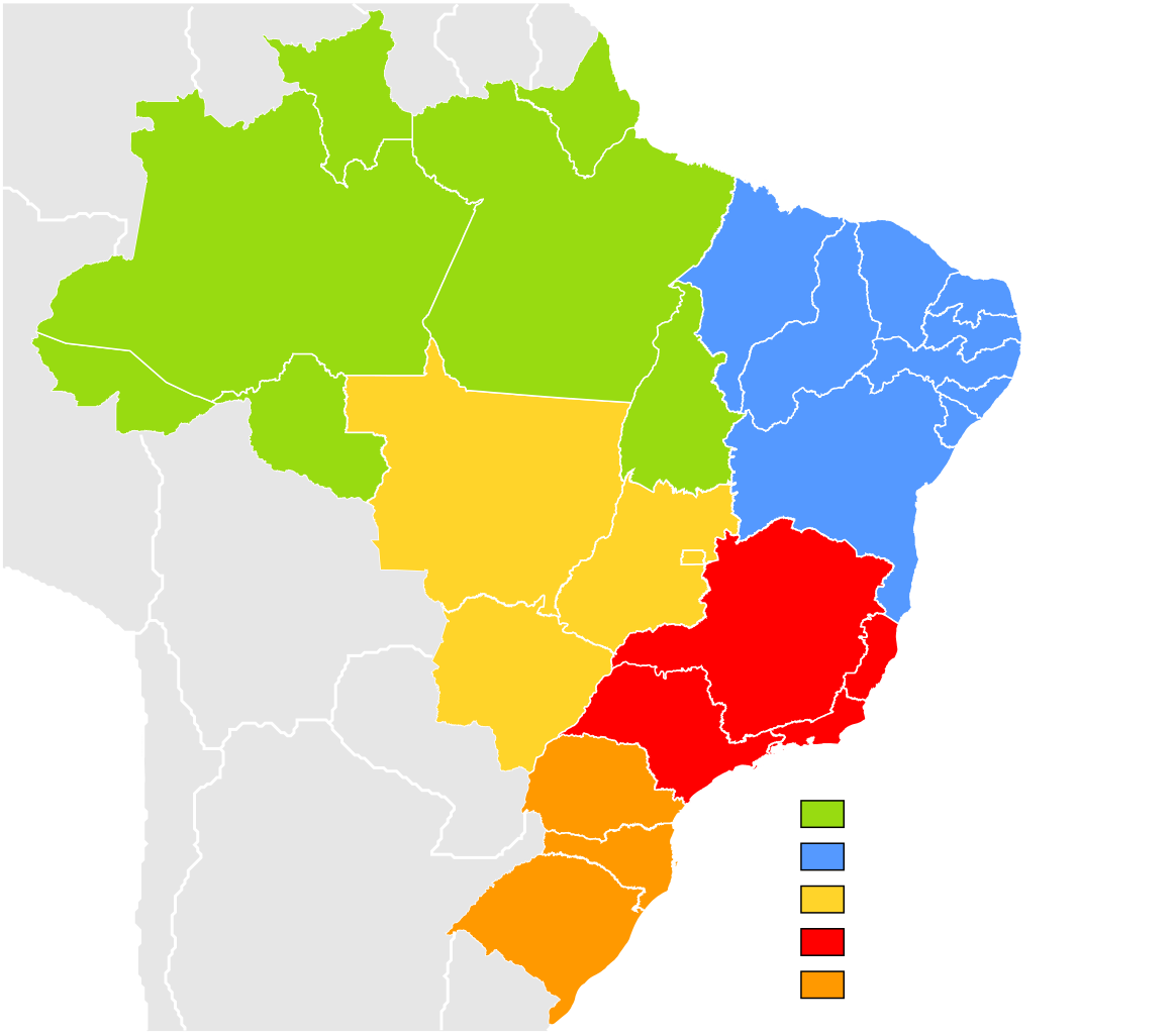
English: Brazil Labelled Map.
Português: Mapa Clicável do Brasil.

 
This W3C-unspecified vector image was created with Inkscape .
Date
Source Own work (Image:Brazil State Map.svg)
Author Felipe Menegaz
Permission
(Reusing this file)
I, Felipe Menegaz, the copyright holder of this work, hereby publishes it under the following licenses:
GNU head Permission is granted to copy, distribute and/or modify this document under the terms of the GNU Free Documentation License, Version 1.2 or any later version published by the Free Software Foundation; with no Invariant Sections, no Front-Cover Texts, and no Back-Cover Texts. A copy of the license is included in the section entitled GNU Free Documentation License.
w:en:Creative Commons
attribution share alike
This file is licensed under the Creative Commons Attribution-Share Alike 3.0 Unported license.
Attribution: I, Felipe Menegaz
You are free:
  • to share – to copy, distribute and transmit the work
  • to remix – to adapt the work
Under the following conditions:
  • attribution – You must give appropriate credit, provide a link to the license, and indicate if changes were made. You may do so in any reasonable manner, but not in any way that suggests the licensor endorses you or your use.
  • share alike – If you remix, transform, or build upon the material, you must distribute your contributions under the same or compatible license as the original.
This licensing tag was added to this file as part of the GFDL licensing update.
w:en:Creative Commons
attribution share alike
This file is licensed under the Creative Commons Attribution-Share Alike 2.5 Generic, 2.0 Generic and 1.0 Generic license.
Attribution: I, Felipe Menegaz
You are free:
  • to share – to copy, distribute and transmit the work
  • to remix – to adapt the work
Under the following conditions:
  • attribution – You must give appropriate credit, provide a link to the license, and indicate if changes were made. You may do so in any reasonable manner, but not in any way that suggests the licensor endorses you or your use.
  • share alike – If you remix, transform, or build upon the material, you must distribute your contributions under the same or compatible license as the original.
You may select the license of your choice.
Other versions

Derivative works of this file:

Captions

Subdivisions of Brazil, colored by geographic region

Items portrayed in this file

depicts

11 June 2007

image/svg+xml

202a8e38686d14373ef985ce0363ffd09880723c

409,302 byte

687 pixel

780 pixel

File history

Click on a date/time to view the file as it appeared at that time.

Date/TimeDimensionsUserComment
current15:20, 11 September 2022780 × 687 (400 KB)HeitordpUpdated border between Acre and Amazonas

There are no pages that use this file.

Metadata