File:Brazil Provinces 1889.svg

Size of this PNG preview of this SVG file: 607 × 600 pixels. Other resolutions: 243 × 240 pixels | 486 × 480 pixels | 777 × 768 pixels | 1,036 × 1,024 pixels | 2,008 × 1,984 pixels.
Original file (SVG file, nominally 2,008 × 1,984 pixels, file size: 1.13 MB)
| This is a file from the Wikimedia Commons. The description on its description page there is shown below.
|
| Description |
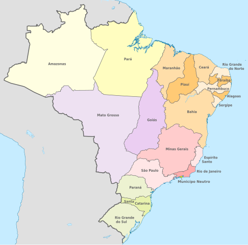
English: Map of the provinces of the Empire of Brazil in 1889.
Deutsch: Karte der Provinzen des Kaiserreichs Brasilien im Jahre 1889. |
||
| Date | |||
| Source | Modification of Brazil, administrative divisions (regions+states) - de - colored.svg | ||
| Author |
|
||
| Permission (Reusing this file) |
I, the copyright holder of this work, hereby publish it under the following license: This file is licensed under the Creative Commons Attribution-Share Alike 3.0 Unported license.
|
||
| Other versions | Brazil, administrative divisions (regions+states) - de - colored.svg |

_-_de_-_colored.svg)
File history
Click on a date/time to view the file as it appeared at that time.
| Date/Time | Dimensions | User | Comment | |
|---|---|---|---|---|
| current | 05:34, 16 June 2015 | 2,008 × 1,984 (1.13 MB) | Master Uegly | {{Information |Description ={{en|1=Map of the provinces of the Empire of Brazil in 1889.}} {{de|1=Karte der Provinzen des Kaiserreichs Brasilien im Jahre 1889.}} |Source =Modification of... |
File usage
The following page uses this file: