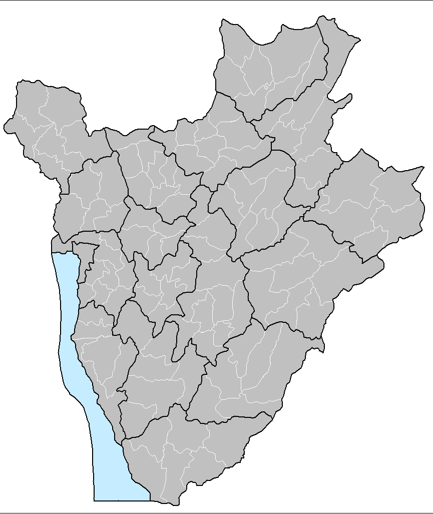
File:Burundi communes.png
Size of this preview: 505 × 600 pixels. Other resolutions: 202 × 240 pixels | 404 × 480 pixels | 865 × 1,027 pixels.
Original file (865 × 1,027 pixels, file size: 22 KB, MIME type: image/png)
| This is a file from the Wikimedia Commons. The description on its description page there is shown below.
|
Summary
| Description |
|
||
| Date | 29 November 2006 (original upload date) | ||
| Source | No machine-readable source provided. Own work assumed (based on copyright claims). | ||
| Author | No machine-readable author provided. Electionworld assumed (based on copyright claims). | ||
| Other versions |
Derivative works of this file: |

.png)
Licensing
| I, the copyright holder of this work, release this work into the public domain. This applies worldwide. In some countries this may not be legally possible; if so: I grant anyone the right to use this work for any purpose, without any conditions, unless such conditions are required by law. |
File history
Click on a date/time to view the file as it appeared at that time.
| Date/Time | Dimensions | User | Comment | |
|---|---|---|---|---|
| current | 12:50, 15 September 2015 | 865 × 1,027 (22 KB) | NordNordWest | upd |
File usage
The following page uses this file: