File:Canton-Massillon Metropolitan Area.png
No higher resolution available.
Canton-Massillon_Metropolitan_Area.png (400 × 450 pixels, file size: 23 KB, MIME type: image/png)
| This is a file from the Wikimedia Commons. The description on its description page there is shown below.
|
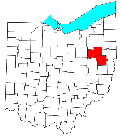
| Description | Locator map of the Canton-Massillon Metropolitan Statistical Area in the northeastern part of the U.S. state of Ohio. | ||
| Date | |||
| Source | Modified from this United States Census Bureau file, based on this Census definitions list. | ||
| Author | User:Nyttend | ||
| Permission (Reusing this file) |
US Government work is public domain, and my work is
|
File history
Click on a date/time to view the file as it appeared at that time.
| Date/Time | Dimensions | User | Comment | |
|---|---|---|---|---|
| current | 12:33, 30 July 2008 | 400 × 450 (23 KB) | Nyttend | thumb|right|250px|Location of the Canton-Massillon Metropolitan Statistical Area in Ohio Canton is the largest principal city of the [[Canton-Massillon, OH MSA|Canton-Massillon Metropolitan Statistical Are |
File usage
The following page uses this file: