File:Carte de l'Empire Français 1812.jpg

Size of this preview: 800 × 594 pixels. Other resolutions: 320 × 238 pixels | 640 × 476 pixels | 1,024 × 761 pixels | 1,280 × 951 pixels | 9,338 × 6,938 pixels.
Original file (9,338 × 6,938 pixels, file size: 22.19 MB, MIME type: image/jpeg)
| This is a file from the Wikimedia Commons. The description on its description page there is shown below.
|
Summary
| Description |
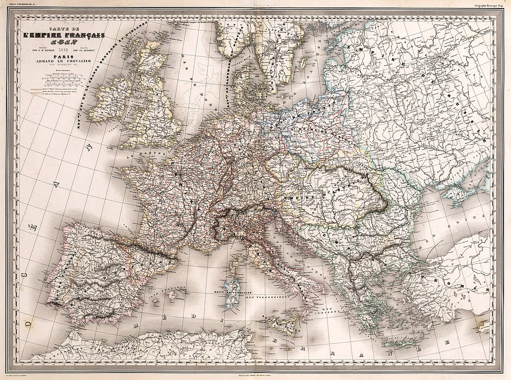
Français : Carte de l'Empire Français 1812 : Dressée par A. H. Dufour. Gravée par Ch. Dyonnet. Paris, Armand Le Chevalier, Rue Richelieu, 60. La Lettre gravée par Delêtre. Impé. par Louis Antoine, r. des Noyers, 70, Paris. (to accompany) Atlas Universel, Physique, Historique Et Politique De Géographie Ancienne Et Moderne. Pl. 9. (on upper margin) Géographie Historique Pl. 4. |
||||
| Date | |||||
| Source | David Rumsey Map Collection. | ||||
| Author | Dufour, Auguste-Henri (1798-1865). | ||||
| Permission (Reusing this file) |
|
||||
File history
Click on a date/time to view the file as it appeared at that time.
| Date/Time | Dimensions | User | Comment | |
|---|---|---|---|---|
| current | 05:33, 8 May 2021 | 9,338 × 6,938 (22.19 MB) | FDRMRZUSA | Reverted to version as of 14:48, 24 November 2017 (UTC): restored original colors version: the previous changes have altered some details (for example in Dalmatia). Previous version can (and must) be upload separately (per COM:OVERWRITE). |
File usage
The following page uses this file: