File:Chaves de la Rosa, Arequipa.jpg
Size of this preview: 418 × 600 pixels. Other resolutions: 167 × 240 pixels | 334 × 480 pixels | 704 × 1,010 pixels.
Original file (704 × 1,010 pixels, file size: 307 KB, MIME type: image/jpeg)
| This is a file from the Wikimedia Commons. The description on its description page there is shown below.
|
Summary
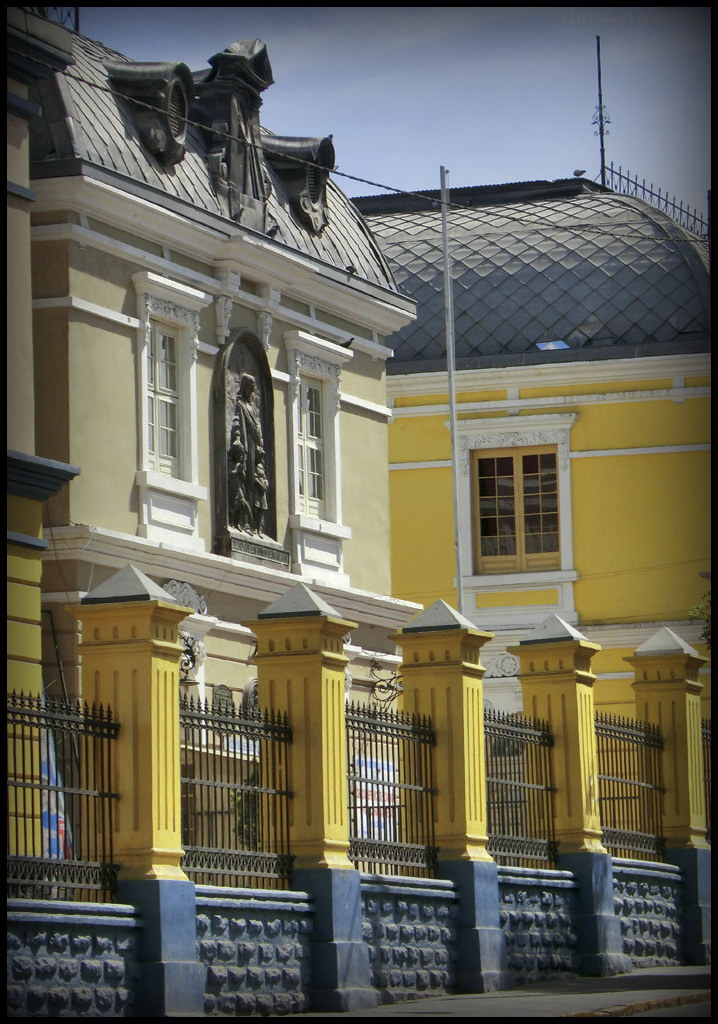
| Spanish: Arquitectura francesa en Arequipa | |
|---|---|
| Photographer | |
| Title |
Spanish: Arquitectura francesa en Arequipa |
| Description |
Español: Arquitectura francesa en Arequipa |
| Date | 14 October 2011 |
| Source | Own work |
| Camera location | | View this and other nearby images on: OpenStreetMap |
|---|
Licensing
Christian Monzón Cárdenas, the copyright holder of this work, hereby publishes it under the following license:
This file is licensed under the Creative Commons Attribution-Share Alike 3.0 Unported license.
Attribution:
- You are free:
- to share – to copy, distribute and transmit the work
- to remix – to adapt the work
- Under the following conditions:
- attribution – You must give appropriate credit, provide a link to the license, and indicate if changes were made. You may do so in any reasonable manner, but not in any way that suggests the licensor endorses you or your use.
- share alike – If you remix, transform, or build upon the material, you must distribute your contributions under the same or compatible license as the original.
File history
Click on a date/time to view the file as it appeared at that time.
| Date/Time | Dimensions | User | Comment | |
|---|---|---|---|---|
| current | 00:07, 19 October 2024 | 704 × 1,010 (307 KB) | Sebastian Wallroth | Cropped 2 % horizontally, 1 % vertically, 3 % areawise using CropTool with precise mode. Removed border. |
File usage
The following page uses this file: