File:Chelvey MMB 05 Bristol to Exeter Line.jpg

Size of this preview: 800 × 533 pixels. Other resolutions: 320 × 213 pixels | 640 × 427 pixels | 1,024 × 683 pixels | 1,280 × 853 pixels | 2,400 × 1,600 pixels.
Original file (2,400 × 1,600 pixels, file size: 1.89 MB, MIME type: image/jpeg)
| This is a file from the Wikimedia Commons. The description on its description page there is shown below.
|
| Description |
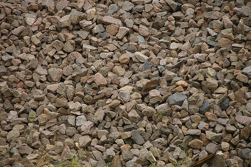
English: Ballast by the Chelvey Lane bridge over the Bristol to Taunton line near Nailsea. |
| Date | Taken on 6 May 2009, 13:48:39 |
| Source | Own work by mattbuck. |
| Author | mattbuck (category) |
| Permission (Reusing this file) |
This file is licensed under the Creative Commons Attribution-Share Alike 2.0 Generic license.
This file is licensed under the Creative Commons Attribution-Share Alike 3.0 Unported license.
|
| Other versions | Uploaded to flickr. |
| Camera location | | View this and other nearby images on: OpenStreetMap |
|---|
File history
Click on a date/time to view the file as it appeared at that time.
| Date/Time | Dimensions | User | Comment | |
|---|---|---|---|---|
| current | 20:27, 16 January 2013 | 2,400 × 1,600 (1.89 MB) | Mattbuck | User created page with UploadWizard |
File usage
The following page uses this file: