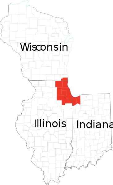
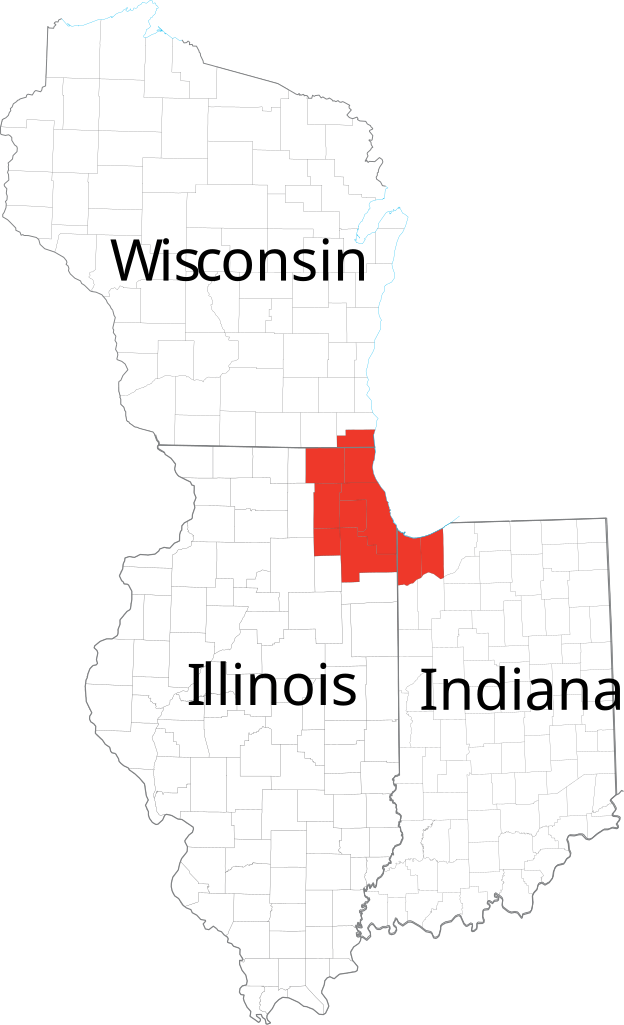
File:Chicagoland Map.svg

Size of this PNG preview of this SVG file: 365 × 599 pixels. Other resolutions: 146 × 240 pixels | 292 × 480 pixels | 365 × 600 pixels | 468 × 768 pixels | 624 × 1,024 pixels | 2,082 × 3,418 pixels.
Original file (SVG file, nominally 2,082 × 3,418 pixels, file size: 362 KB)
| This is a file from the Wikimedia Commons. The description on its description page there is shown below.
|
| Description | Derived from maps obtained from [1]. Combined in en:Adobe Illustrator and exported to SVG. | |||
| Source | ||||
| Author | ||||
| Permission (Reusing this file) |
|
File history
Click on a date/time to view the file as it appeared at that time.
| Date/Time | Dimensions | User | Comment | |
|---|---|---|---|---|
| current | 06:41, 24 February 2007 | 2,082 × 3,418 (362 KB) | Ocuish | {{Information |Description=Derived from maps obtained from [http://nationalatlas.gov/printable/reference.html]. Combined in en:Adobe Illustrator and exported to SVG. en:Category:Illinois mapsen:Category:Indiana maps[[:en:Category:Wisconsi |
File usage
The following 2 pages use this file: