File:Circuit Aintree.svg

Size of this PNG preview of this SVG file: 470 × 490 pixels. Other resolutions: 230 × 240 pixels | 460 × 480 pixels | 575 × 600 pixels | 737 × 768 pixels | 982 × 1,024 pixels.
Original file (SVG file, nominally 470 × 490 pixels, file size: 23 KB)
| This is a file from the Wikimedia Commons. The description on its description page there is shown below.
|
Summary
| Description |
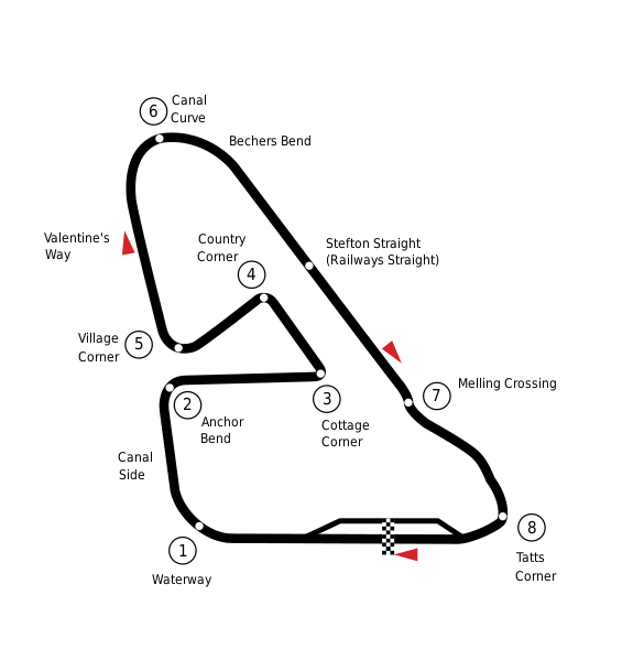
English: Circuit diagram of the Aintree track, England |
| Date | |
| Source | Image:Circuit_Aintree.png |
| Author | Ch1902 |
| Other versions | Image:Circuit_Aintree.png |
| Camera location | | View this and other nearby images on: OpenStreetMap |
|---|
Licensing
| I, the copyright holder of this work, release this work into the public domain. This applies worldwide. In some countries this may not be legally possible; if so: I grant anyone the right to use this work for any purpose, without any conditions, unless such conditions are required by law. |
File history
Click on a date/time to view the file as it appeared at that time.
| Date/Time | Dimensions | User | Comment | |
|---|---|---|---|---|
| current | 07:26, 5 November 2008 | 470 × 490 (23 KB) | Ch1902 | {{Information |Description={{en|1=Circuit diagram of the Aintree track, England}} |Source=Image:Circuit_Aintree.png |Author=Ch1902 |Date=2008-11-05 |Permission= |other_versions=Image:Circuit_Aintree.png }} {{Location|53|28|36|N|2 |
File usage
The following 2 pages use this file: