File:Fiume town map.jpg

Size of this preview: 443 × 599 pixels. Other resolutions: 177 × 240 pixels | 355 × 480 pixels | 444 × 600 pixels | 568 × 768 pixels | 757 × 1,024 pixels | 1,589 × 2,149 pixels.
Original file (1,589 × 2,149 pixels, file size: 560 KB, MIME type: image/jpeg)
| This is a file from the Wikimedia Commons. The description on its description page there is shown below.
|
Summary
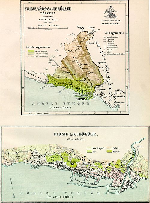
| Description | Map of Fiume város (town of Rijeka) around 1890 |
| Date | circa 1910 |
| Source | http://lazarus.elte.hu/hun/maps/1910/gonczy/fiume.htm |
| Author | Pál Gönczy |
| Other versions |
|

Licensing
|
This work is in the public domain in its country of origin and other countries and areas where the copyright term is the author's life plus 70 years or fewer. This work is in the public domain in the United States because it was published (or registered with the U.S. Copyright Office) before January 1, 1930. | |
| This file has been identified as being free of known restrictions under copyright law, including all related and neighboring rights. | |
File history
Click on a date/time to view the file as it appeared at that time.
| Date/Time | Dimensions | User | Comment | |
|---|---|---|---|---|
| current | 10:18, 6 October 2007 | 1,589 × 2,149 (560 KB) | Murli | {{Information |Description=Map of Fiume város (town of Rijeka) around 1890 |Source=http://lazarus.elte.hu/hun/maps/1910/gonczy/fiume.htm |Date=6. October 2007 |Author=Pál Gönczy |Permission= }} Category:Counties in the Kingdom of Hungary |
File usage
The following page uses this file: