File:France and its region.png
Size of this preview: 524 × 600 pixels. Other resolutions: 210 × 240 pixels | 419 × 480 pixels | 794 × 909 pixels.
Original file (794 × 909 pixels, file size: 326 KB, MIME type: image/png)
| This is a file from the Wikimedia Commons. The description on its description page there is shown below.
|
Summary
| Description |
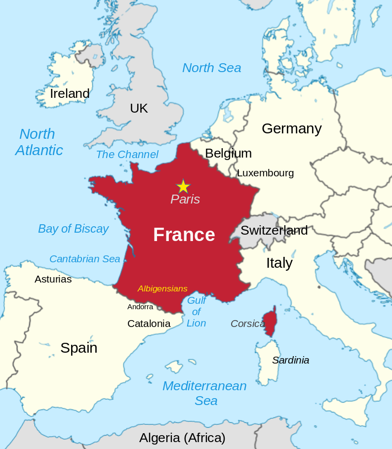
English: France and its neighbors |
||
| Date | |||
| Source | Modified File:France in European Union (-rivers -mini map).svg | ||
| Author | Thinker78, based on map by TUBS | ||
| Permission (Reusing this file) |
This file is licensed under the Creative Commons Attribution 4.0 International license.
|
||
| Other versions |
This file is licensed under the Creative Commons Attribution-Share Alike 3.0 Unported license. Attribution: TUBS
|

.svg)
| Camera location | | View this and other nearby images on: OpenStreetMap |
|---|
Made with w:LibreOffice Draw
Licensing
This file is licensed under the Creative Commons Attribution 4.0 International license.
- You are free:
- to share – to copy, distribute and transmit the work
- to remix – to adapt the work
- Under the following conditions:
- attribution – You must give appropriate credit, provide a link to the license, and indicate if changes were made. You may do so in any reasonable manner, but not in any way that suggests the licensor endorses you or your use.
File history
Click on a date/time to view the file as it appeared at that time.
| Date/Time | Dimensions | User | Comment | |
|---|---|---|---|---|
| current | 19:50, 10 April 2024 | 794 × 909 (326 KB) | Thinker78 | added locations, improved format |
File usage
The following page uses this file: