File:FukuokaMapCurrent.png
Size of this preview: 719 × 599 pixels. Other resolutions: 288 × 240 pixels | 576 × 480 pixels | 720 × 600 pixels | 922 × 768 pixels | 1,081 × 901 pixels.
Original file (1,081 × 901 pixels, file size: 42 KB, MIME type: image/png)
| This is a file from the Wikimedia Commons. The description on its description page there is shown below.
|
Summary
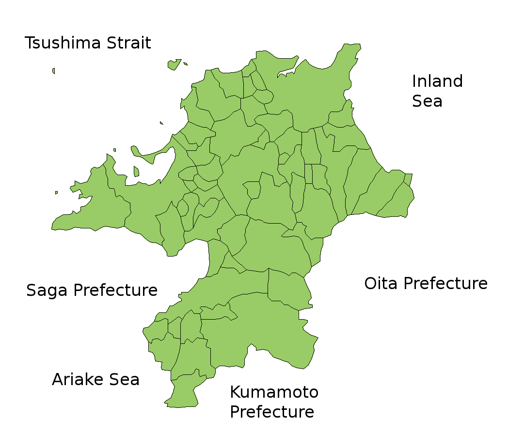
Map of Fukuoka Prefecture, Japan.
Thanks to Aoki Shigenobu and [1]. Colors from Image:TokyoMapCurrent.png by User:Fg2.
Licensing

|
Shigenobu AOKI, the copyright holder of this work, allows anyone to use it for any purpose including unrestricted redistribution, commercial use, and modification.
|
File history
Click on a date/time to view the file as it appeared at that time.
| Date/Time | Dimensions | User | Comment | |
|---|---|---|---|---|
| current | 06:51, 5 February 2010 | 1,081 × 901 (42 KB) | Alberth2 | Kurogi Town, Tachibana Town, Hoshino Village, and Yabe Village were merged into Yame City. |
File usage
There are no pages that use this file.