File:Gaston Gate, NW of Cranleigh. - geograph.org.uk - 172375.jpg
No higher resolution available.
Gaston_Gate,_NW_of_Cranleigh._-_geograph.org.uk_-_172375.jpg (640 × 437 pixels, file size: 107 KB, MIME type: image/jpeg)
| This is a file from the Wikimedia Commons. The description on its description page there is shown below.
|
Summary
| Description |
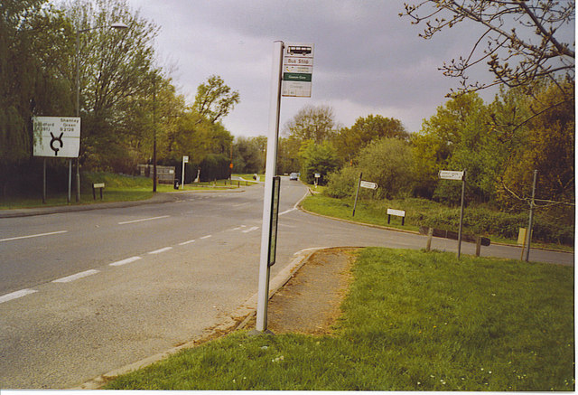
English: Gaston Gate, NW of Cranleigh in Rowly. A fairly busy stretch of B2128 country road. There is a car saleroom hidden behind the trees on the left. The bus stop is served by routes 53 and 63, as well as some school services. |
| Date | |
| Source | From geograph.org.uk |
| Author | Colin Smith |
| Attribution (required by the license) | Colin Smith / Gaston Gate, NW of Cranleigh. / |
| Camera location | | View this and other nearby images on: OpenStreetMap |
|---|
_heading:315.00&language=en)
| Object location | | View this and other nearby images on: OpenStreetMap |
|---|
_heading:315.00&language=en)
Licensing

|
This image was taken from the Geograph project collection. See this photograph's page on the Geograph website for the photographer's contact details. The copyright on this image is owned by Colin Smith and is licensed for reuse under the Creative Commons Attribution-ShareAlike 2.0 license.
|
This file is licensed under the Creative Commons Attribution-Share Alike 2.0 Generic license.
Attribution: Colin Smith
- You are free:
- to share – to copy, distribute and transmit the work
- to remix – to adapt the work
- Under the following conditions:
- attribution – You must give appropriate credit, provide a link to the license, and indicate if changes were made. You may do so in any reasonable manner, but not in any way that suggests the licensor endorses you or your use.
- share alike – If you remix, transform, or build upon the material, you must distribute your contributions under the same or compatible license as the original.
File history
Click on a date/time to view the file as it appeared at that time.
| Date/Time | Dimensions | User | Comment | |
|---|---|---|---|---|
| current | 06:59, 31 January 2010 | 640 × 437 (107 KB) | GeographBot | == {{int:filedesc}} == {{Information |description={{en|1=Gaston Gate, NW of Cranleigh. A fairly busy stretch of B2128 country road. There is a car saleroom hidden behind the trees on the left.}} |date=2006-05-07 |source=From [http://www.geograph.org.uk/ph |
File usage
The following page uses this file: