File:Geraint Thomas E3 Harelbeke 2015.JPG
Size of this preview: 493 × 600 pixels. Other resolutions: 197 × 240 pixels | 395 × 480 pixels | 631 × 768 pixels | 842 × 1,024 pixels | 2,834 × 3,447 pixels.
Original file (2,834 × 3,447 pixels, file size: 2.97 MB, MIME type: image/jpeg)
This is a file from the Wikimedia Commons. The description on its description page there is shown below.
|
Summary
DescriptionGeraint Thomas E3 Harelbeke 2015.JPG |
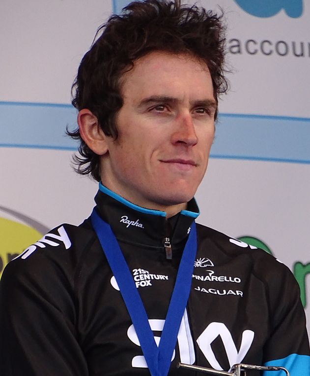
Français : Reportage réalisé le vendredi 27 mars à l'occasion du départ et de l'arrivée du Grand Prix E3 2015 à Harelbeke, Belgique.
| |||||||||||||||||||||||
Wikimédia France InfoField |
|
|||||||||||||||||||||||
Date | ||||||||||||||||||||||||
Source | Own work | |||||||||||||||||||||||
Author |
creator QS:P170,Q58229383 |
|||||||||||||||||||||||
Permission (Reusing this file) |
This file is licensed under the Creative Commons Attribution-Share Alike 3.0 Unported license.
| |||||||||||||||||||||||
Attribution (required by the license) InfoField | Jérémy-Günther-Heinz Jähnick / Geraint Thomas E3 Harelbeke 2015 / Wikimedia Commons / | |||||||||||||||||||||||
InfoField | Jérémy-Günther-Heinz Jähnick / Geraint Thomas E3 Harelbeke 2015 / Wikimedia Commons | |||||||||||||||||||||||
Other versions |
|
Camera location | 50° 50′ 41.83″ N, 3° 18′ 35.41″ E | View this and other nearby images on: OpenStreetMap | 50.844953; 3.309835 |
---|
Items portrayed in this file
depicts
27 March 2015
50°50'41.83102"N, 3°18'35.40600"E
File history
Click on a date/time to view the file as it appeared at that time.
Date/Time | Dimensions | User | Comment | |
---|---|---|---|---|
current | 10:08, 26 February 2017 | 2,834 × 3,447 (2.97 MB) | Leonprimer | File:Harelbeke - E3 Harelbeke, 27 maart 2015 (G17).JPG cropped 18 % horizontally and 34 % vertically using CropTool with precise mode. |
File usage
The following page uses this file:
Metadata
This file contains additional information, probably added from the digital camera or scanner used to create or digitize it.
If the file has been modified from its original state, some details may not fully reflect the modified file.
Camera manufacturer | SONY |
---|---|
Camera model | DSC-HX400V |
Exposure time | 1/250 sec (0.004) |
F Number | f/5.6 |
ISO speed rating | 400 |
Date and time of data generation | 17:36, 27 March 2015 |
Lens focal length | 125.86 mm |
Latitude | 50° 50′ 41.83″ N |
Longitude | 3° 18′ 35.41″ E |
Altitude | 9.6 meters above sea level |
Orientation | Normal |
Horizontal resolution | 350 dpi |
Vertical resolution | 350 dpi |
Software used | DSC-HX400V v2.00 |
File change date and time | 11:42, 28 March 2015 |
Y and C positioning | Co-sited |
Exposure Program | Normal program |
Exif version | 2.3 |
Date and time of digitizing | 17:36, 27 March 2015 |
Meaning of each component |
|
Image compression mode | 2 |
APEX brightness | 6.8375 |
APEX exposure bias | 0 |
Maximum land aperture | 4.96875 APEX (f/5.6) |
Metering mode | Pattern |
Light source | Unknown |
Flash | Flash did not fire, compulsory flash suppression |
Supported Flashpix version | 1 |
Color space | sRGB |
File source | Digital still camera |
Scene type | A directly photographed image |
Custom image processing | Normal process |
Exposure mode | Auto exposure |
White balance | Auto white balance |
Digital zoom ratio | 1 |
Scene capture type | Standard |
Contrast | Normal |
Saturation | Normal |
Sharpness | Normal |
Unique image ID | A9763C6BFD17475C812E33879948FD38 |
GPS time (atomic clock) | 16:36 |
Receiver status | Measurement in progress |
Measurement mode | 3-dimensional measurement |
Measurement precision | Poor (1.1799) |
Speed unit | Kilometers per hour |
Speed of GPS receiver | 0.04 |
Reference for direction of movement | True direction |
Direction of movement | 3.55 |
Geodetic survey data used | WGS-84 |
GPS date | 27 March 2015 |
GPS differential correction | 0 |
GPS tag version | 2.3.0.0 |