File:Haute-Normandie region location map.svg

Size of this PNG preview of this SVG file: 465 × 600 pixels. Other resolutions: 186 × 240 pixels | 372 × 480 pixels | 595 × 768 pixels | 794 × 1,024 pixels | 969 × 1,250 pixels.
Original file (SVG file, nominally 969 × 1,250 pixels, file size: 377 KB)
| This is a file from the Wikimedia Commons. The description on its description page there is shown below.
|
Summary
| Camera location | | View this and other nearby images on: OpenStreetMap |
|---|
| Description |
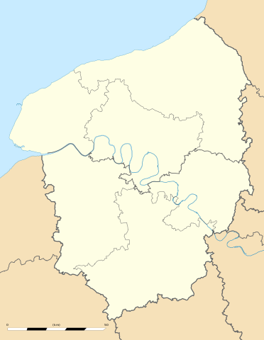
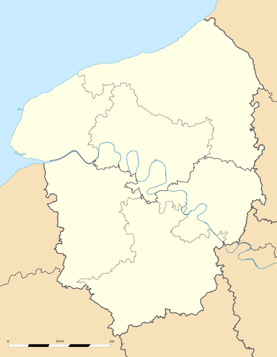
English: Blank administrative map of the region of Upper Normandy, France, for geo-location purpose, with distinct boundaries for regions, departments and arrondissements.
Français : Carte administrative vierge de la région de Haute-Normandie, France, destinée à la géolocalisation, avec limite distincte des régions, départements et arrondissements. Estimated scale: 1:560,000 (precision: 140 m)
Geographic limits of the map:
|
||
| Date | |||
| Source |
Own work
|
||
| Author | Eric Gaba (Sting - fr:Sting) | ||
| Permission (Reusing this file) |
|
||
| Other versions |
|

Licensing
Eric Gaba, Wikimedia Commons user Sting, the copyright holder of this work, hereby publishes it under the following license:
This file is licensed under the Creative Commons Attribution-Share Alike 3.0 Unported license.
Attribution: Eric Gaba, Wikimedia Commons user Sting
- You are free:
- to share – to copy, distribute and transmit the work
- to remix – to adapt the work
- Under the following conditions:
- attribution – You must give appropriate credit, provide a link to the license, and indicate if changes were made. You may do so in any reasonable manner, but not in any way that suggests the licensor endorses you or your use.
- share alike – If you remix, transform, or build upon the material, you must distribute your contributions under the same or compatible license as the original.
File history
Click on a date/time to view the file as it appeared at that time.
| Date/Time | Dimensions | User | Comment | |
|---|---|---|---|---|
| current | 10:05, 10 March 2010 | 969 × 1,250 (377 KB) | Sting | == {{int:filedesc}} == {{Location|49|21|45|N|00|56|15|E|scale:500000}} <br/> {{Information |Description={{en|Blank administrative map of the region of Upper Normandy, France, for geo-location purpose, with distinct boundaries for re |
File usage
The following page uses this file: