File:Holderness flatlands - geograph.org.uk - 38753.jpg
No higher resolution available.
Holderness_flatlands_-_geograph.org.uk_-_38753.jpg (640 × 480 pixels, file size: 124 KB, MIME type: image/jpeg)
| This is a file from the Wikimedia Commons. The description on its description page there is shown below.
|
Summary
| Description |
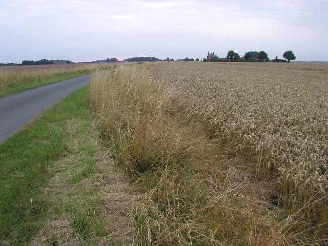
English: Holderness flatlands, Sunk Island, East Riding of Yorkshire, England. This is very typical of the scenery around here - long narrow, flat roads crossing rich agricultural land about 3m above sea level. Photo taken at TA28861794 looking north westwards. |
| Date | |
| Source | From geograph.org.uk |
| Author | Andy Beecroft |
| Permission (Reusing this file) |
Creative Commons Attribution Share-alike license 2.0 |
| Attribution (required by the license) | Andy Beecroft / Holderness flatlands / |
| Object location | | View this and other nearby images on: OpenStreetMap |
|---|
_&language=en)
Licensing

|
This image was taken from the Geograph project collection. See this photograph's page on the Geograph website for the photographer's contact details. The copyright on this image is owned by Andy Beecroft and is licensed for reuse under the Creative Commons Attribution-ShareAlike 2.0 license.
|
This file is licensed under the Creative Commons Attribution-Share Alike 2.0 Generic license.
Attribution: Andy Beecroft
- You are free:
- to share – to copy, distribute and transmit the work
- to remix – to adapt the work
- Under the following conditions:
- attribution – You must give appropriate credit, provide a link to the license, and indicate if changes were made. You may do so in any reasonable manner, but not in any way that suggests the licensor endorses you or your use.
- share alike – If you remix, transform, or build upon the material, you must distribute your contributions under the same or compatible license as the original.
File history
Click on a date/time to view the file as it appeared at that time.
| Date/Time | Dimensions | User | Comment | |
|---|---|---|---|---|
| current | 07:24, 30 January 2010 | 640 × 480 (124 KB) | GeographBot | == {{int:filedesc}} == {{Information |description={{en|1=Holderness flatlands. This is very typical of the scenery around here - long narrow, flat roads crossing rich agricultural land about 3m above sea level. Photo taken at TA28861794 looking north wes |
File usage
The following page uses this file: