File:Ibaraki prefectural road route 25 (Tsuchiura-Inashiki line) in Hitachino-Higashi,Ushiku city.jpg

Size of this preview: 800 × 532 pixels. Other resolutions: 320 × 213 pixels | 640 × 425 pixels | 1,024 × 680 pixels | 1,280 × 851 pixels | 3,696 × 2,456 pixels.
Original file (3,696 × 2,456 pixels, file size: 2.25 MB, MIME type: image/jpeg)
| This is a file from the Wikimedia Commons. The description on its description page there is shown below.
|
_in_Hitachino-Higashi,Ushiku_city.jpg)
Summary
| Description |
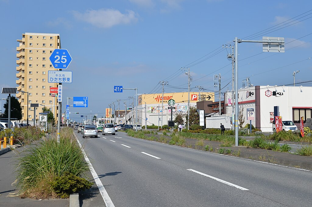
日本語: 茨城県道25号土浦稲敷線(牛久市ひたち野東) |
| Date | |
| Source | Own work |
| Author | 小石川人晃 |
| Camera location | | View this and other nearby images on: OpenStreetMap |
|---|
_in_Hitachino-Higashi,Ushiku_city.jpg¶ms=036.006850_N_0140.163145_E_globe:Earth_type:camera_heading:5.00&language=en)
ひたち野東交差点付近の土浦稲敷線バイパス。土浦方面に向けて撮影。
Licensing
I, the copyright holder of this work, hereby publish it under the following license:
This file is licensed under the Creative Commons Attribution-Share Alike 3.0 Unported license.
- You are free:
- to share – to copy, distribute and transmit the work
- to remix – to adapt the work
- Under the following conditions:
- attribution – You must give appropriate credit, provide a link to the license, and indicate if changes were made. You may do so in any reasonable manner, but not in any way that suggests the licensor endorses you or your use.
- share alike – If you remix, transform, or build upon the material, you must distribute your contributions under the same or compatible license as the original.
File history
Click on a date/time to view the file as it appeared at that time.
| Date/Time | Dimensions | User | Comment | |
|---|---|---|---|---|
| current | 04:26, 27 November 2015 | 3,696 × 2,456 (2.25 MB) | 小石川人晃 | User created page with UploadWizard |
File usage
The following page uses this file:
_in_Hitachino-Higashi,Ushiku_city.jpg)