File:Indian Ocean satellite image location map.jpg
No higher resolution available.
Indian_Ocean_satellite_image_location_map.jpg (375 × 297 pixels, file size: 103 KB, MIME type: image/jpeg)
| This is a file from the Wikimedia Commons. The description on its description page there is shown below.
|
Summary
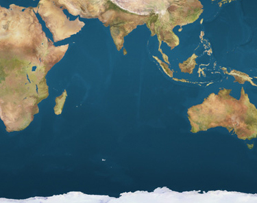
| Description |
Deutsch: Positionskarte des Indischen Ozeans
Quadratische Plattkarte. Geographische Begrenzung der Karte:
English: Location map of the Indian Ocean
Equirectangular projection. Geographic limits of the map:
|
||
| Date | |||
| Source | Own work, using file:Earthmap1000x500compac.jpg | ||
| Author | NordNordWest | ||
| Permission (Reusing this file) |
|

|
This map has been made or improved in the German Kartenwerkstatt (Map Lab). You can propose maps to improve as well.
|
File history
Click on a date/time to view the file as it appeared at that time.
| Date/Time | Dimensions | User | Comment | |
|---|---|---|---|---|
| current | 07:13, 23 December 2009 | 375 × 297 (103 KB) | NordNordWest | == {{int:filedesc}} == {{Information |Description= {{de|Positionskarte des Indischen Ozeans}} Quadratische Plattkarte. Geographische Begrenzung der Karte: * N: 35° N * S: 72° S * W: 15° O * O: 150° O {{en|Location map of the [[ |
File usage
The following page uses this file: