File:Jan Mayen topography no.png

Size of this preview: 764 × 599 pixels. Other resolutions: 306 × 240 pixels | 612 × 480 pixels | 765 × 600 pixels | 979 × 768 pixels | 1,280 × 1,004 pixels.
Original file (1,280 × 1,004 pixels, file size: 384 KB, MIME type: image/png)
| This is a file from the Wikimedia Commons. The description on its description page there is shown below.
|
| Description |
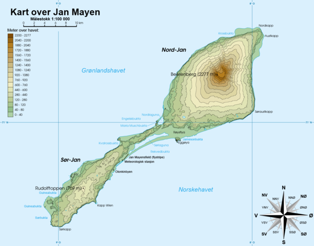
Norsk bokmål: Topografisk kart over Jan Mayen, Norge Français : Carte topographique de l'île de Jan Mayen, Norvège English: Topographic map of Jan Mayen, Norway |
||||||||
| Date | |||||||||
| Source | Rémih | ||||||||
| Author | Gryphonis | ||||||||
| Permission (Reusing this file) |
I, the copyright holder of this work, hereby publish it under the following licenses:
You may select the license of your choice. This file is licensed under the Creative Commons Attribution-Share Alike 1.0 Generic license.
|
||||||||
| Other versions | Jan Mayen topography-fr.png |

File history
Click on a date/time to view the file as it appeared at that time.
| Date/Time | Dimensions | User | Comment | |
|---|---|---|---|---|
| current | 13:54, 30 January 2011 | 1,280 × 1,004 (384 KB) | Gryphonis | {{Information |Description={{no|Topografisk kart over Jan Mayen, Norge}}{{fr|Carte topographique de l'île de Jan Mayen, Norvège}}{{en|Topographic map of Jan Mayen, Norway}} |Source=Rémih |Date=2011-01-30 |Author=[[User:Gryphonis|Grypho |
File usage
The following page uses this file: