File:Kalamazoo Neighborhoods Numbered.jpg
No higher resolution available.
Kalamazoo_Neighborhoods_Numbered.jpg (725 × 599 pixels, file size: 57 KB, MIME type: image/jpeg)
| This is a file from the Wikimedia Commons. The description on its description page there is shown below.
|

|
This map image could be re-created using vector graphics as an SVG file. This has several advantages; see Commons:Media for cleanup for more information. If an SVG form of this image is available, please upload it and afterwards replace this template with
{{vector version available|new image name}}.
It is recommended to name the SVG file “Kalamazoo Neighborhoods Numbered.svg”—then the template Vector version available (or Vva) does not need the new image name parameter. |


Summary
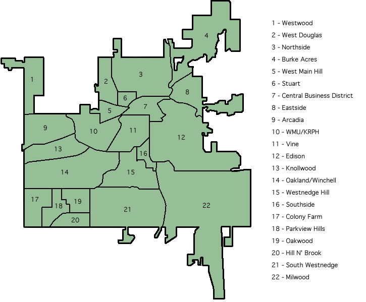
A map of neighborhoods of Kalamazoo, Michigan, United States.
w:en:Image:Kalamazoo Neighborhoods Numbered.jpg by Mxobe, 12/31/2006 21:12 (UTC)
Licensing
| This work has been released into the public domain by its author, Mxobe at English Wikipedia. This applies worldwide. In some countries this may not be legally possible; if so: Mxobe grants anyone the right to use this work for any purpose, without any conditions, unless such conditions are required by law. |
File history
Click on a date/time to view the file as it appeared at that time.
| Date/Time | Dimensions | User | Comment | |
|---|---|---|---|---|
| current | 17:14, 26 May 2007 | 725 × 599 (57 KB) | Yassie | w:en:Image:Kalamazoo Neighborhoods Numbered.jpg by Mxobe, 12/31/2006 21:12 (UTC) |
File usage
The following page uses this file: